
Valley of Miracles
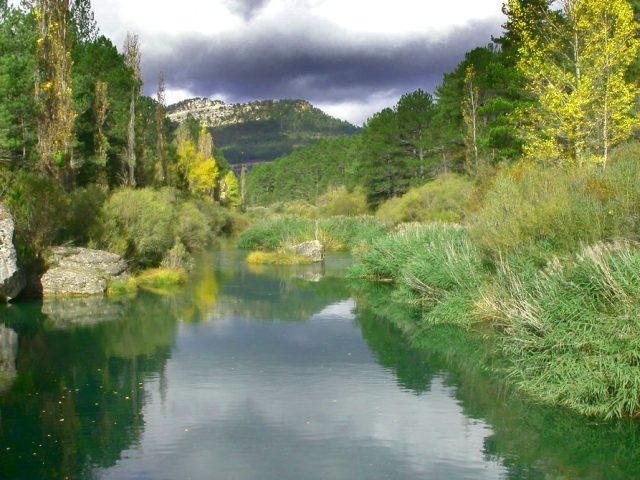
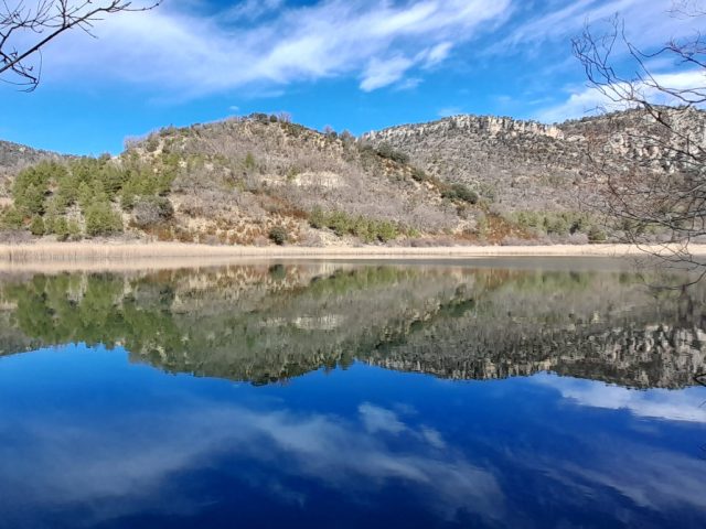
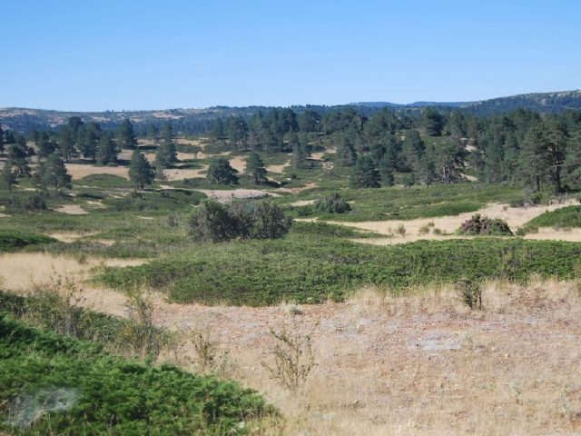
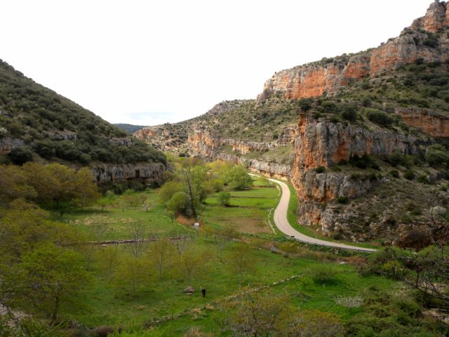
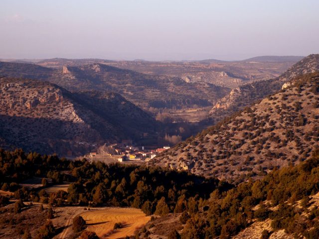
It's a small valley excavated by the Linares River which constitutes a very broad sample of the geological and environmental elements that characterize the Molina Region. We highlight the following.
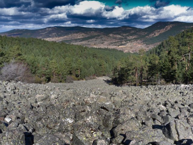
The slopes of the valley reveal different types of rocks that show us how they determine the biotic communities that develop on them and the influence produced by man. We can also observe the different relationships between the lithologies that occur in its geological history and how these give us information about the environmental changes of the past.
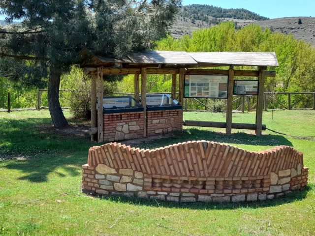
The Cueva de los Casares, occupied by man for more than 50,000 years, has revealed important discoveries about rock art and fauna from the last tens of thousands of years.
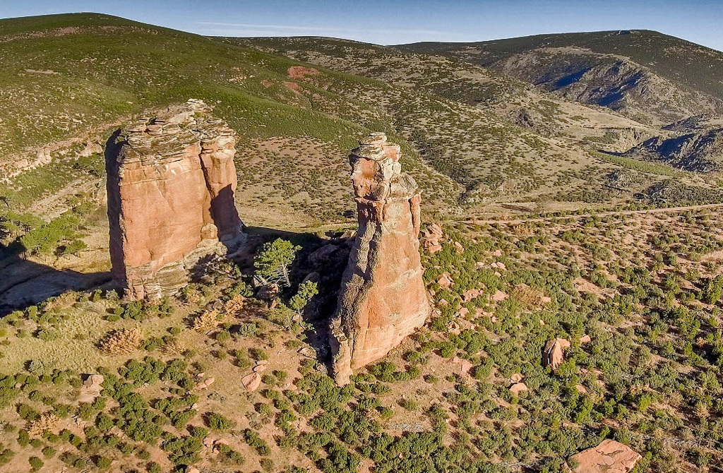
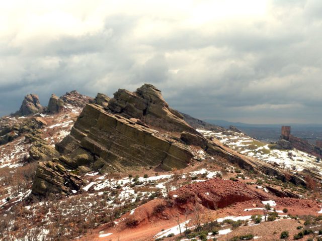
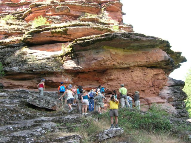
The tendency of the sandstones and conglomerates of the Buntsandstein facies of the Lower Triassic to generate beautiful erosive forms is shown here in the Puntales de los Milagros, unique torms that rise from the bottom of the valley.
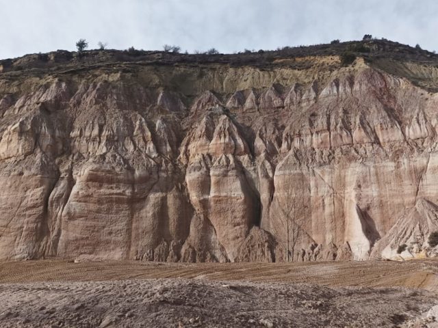
The discordance between Paleozoic and Triassic materials tells us about great geological cycles, radical environmental changes and great geographical modifications, all of them recorded in the stratigraphy.
The flora and fauna of this enclave are very rich due to its communities of rock birds and its relict plant species such as Good Detour Forest.
The salt flats of Saelices de la Sal They show us how man takes advantage of the resources that nature offers him.
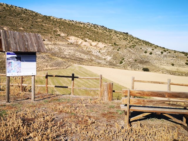
How to get: Through this valley runs the Georoute nº2 of the Alto Tajo Natural Park that begins in the town of The Riba de Saelices, which is accessed by roads GU-954 and CM-2113 from Mazarete and Alcolea del Pinar respectively.
Observations: The circulation of vehicles above the recreational area of the Casares Cave It is restricted to avoid damage to the flora and disturbances that could affect the reproduction of rock birds.

 English (UK)
  Español