

Sierra de Caldereros
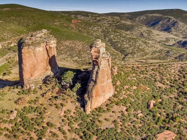
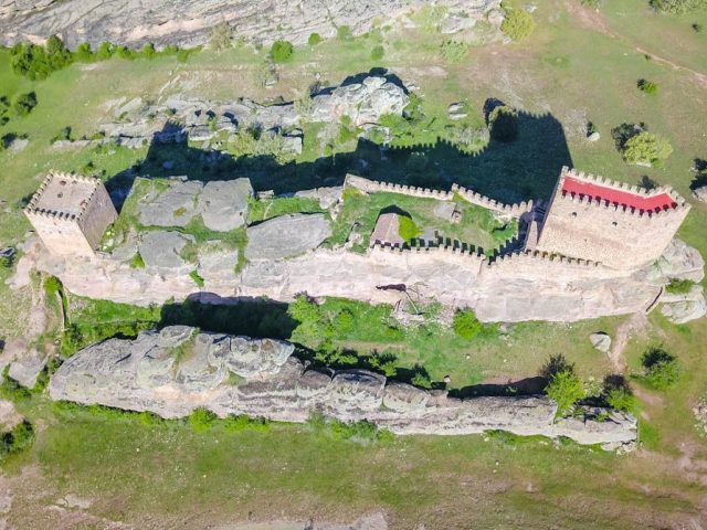
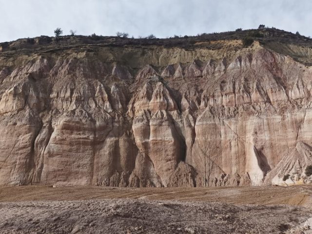
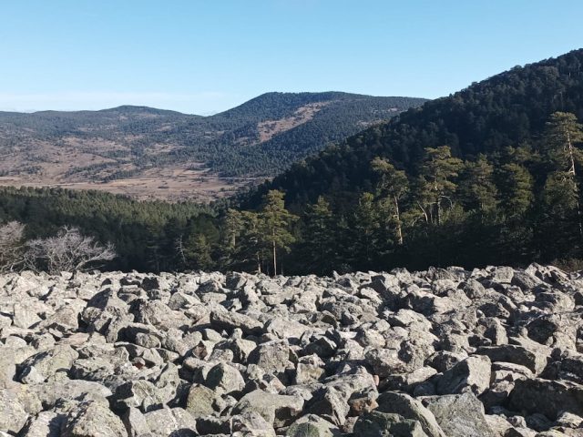
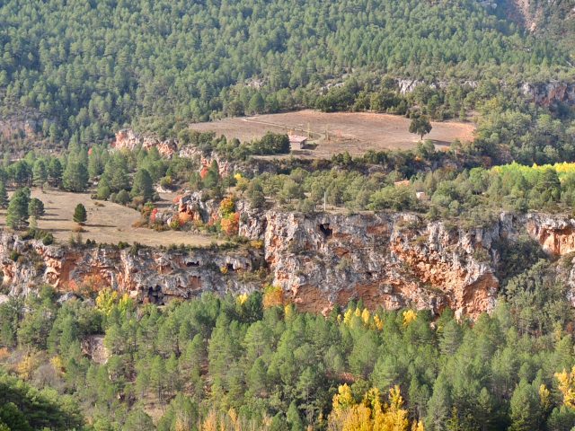
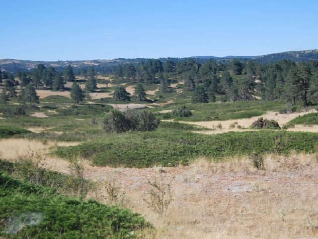
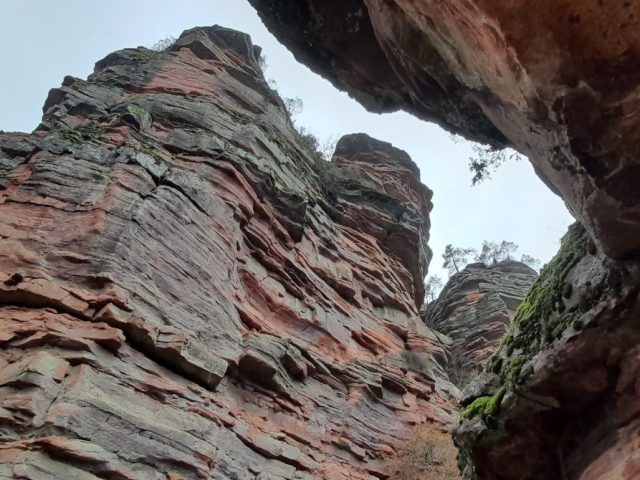
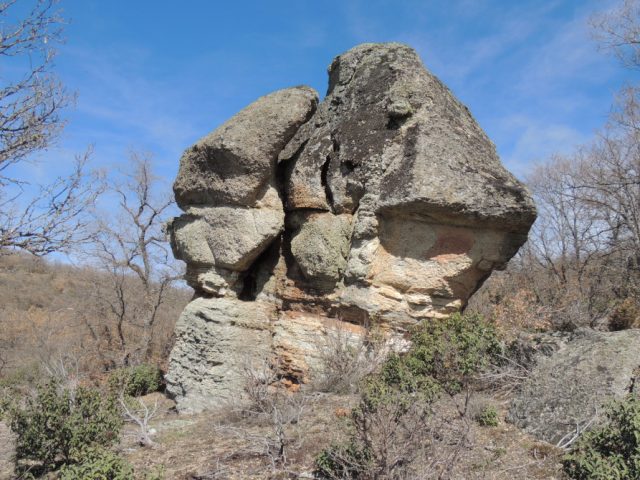
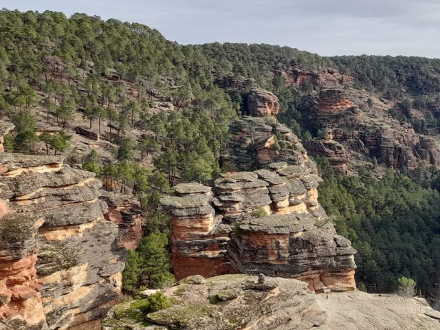
Description: The Sierra de Caldereros is an alignment of rocky ridges in an east-west direction in which the beautiful erosive forms that have developed on the materials of a monoclinal series from the Lower Triassic stand out: Tormos, fairy chimneys, fungiform rocks and caballeras , which together with its tones and the vegetation that surrounds it makes up a landscape of great beauty. It extends through the northwestern area of the Molina Region from the municipality of Cubillejo del Sitio to Hombrados approximately. Its maximum elevation is near its western end, it is known as Águila Peak and reaches 1,443m. of altitude. It forms a barrier that separates the valley of the Gallo River to the south, from the endorheic basin of the lagoons in the north of the Molina Region.
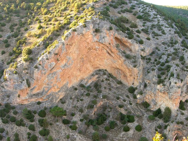
It is made up of trassic materials from the Germanic Buntsandstein facies, that is, conglomerates and sandstones with a siliceous skeleton and a shaly matrix of a marked reddish tone.
Its elevation is due to the movement of a fault in direction during the Alpine orogeny, which resulted in a tilting of the terrain and the characteristic inclination of its strata towards the south, the resistance to erosion presented by its materials, gives rise to a elevated orography with respect to its surroundings.
How to get there: The regional highway GU 418 runs along its western edge, regional highway GU417 runs along its northern edge, and national highway 211 runs along its southern edge. From all of them there are agricultural tracks that go into the elevations of the mountain range.
Observations: This environment was declared a National Monument of the Sierra de Caldereros in 2005.
 English (UK)
  Español