
GEORUTE 7: Taravilla Lagoon – Poveda Falls – Peralejos de las Truchas
The paths of water
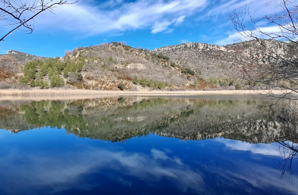
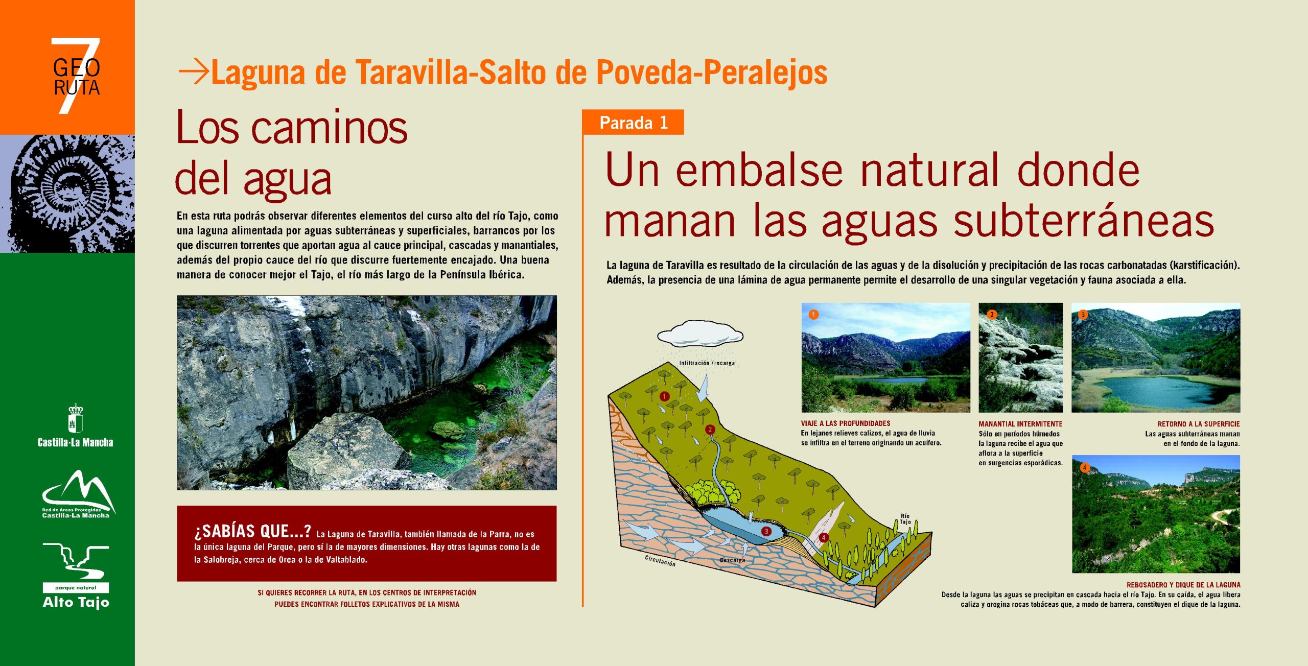
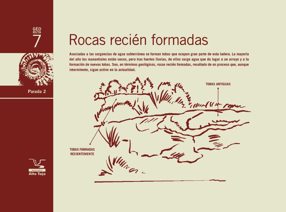
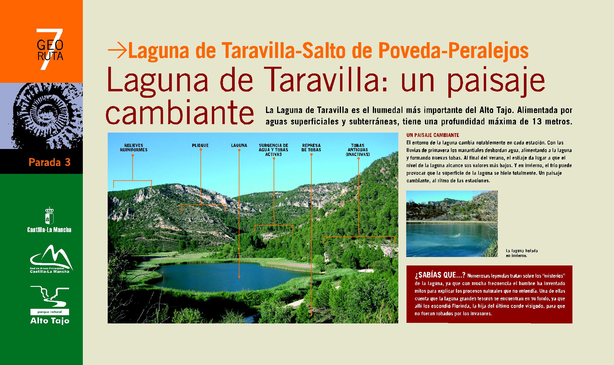
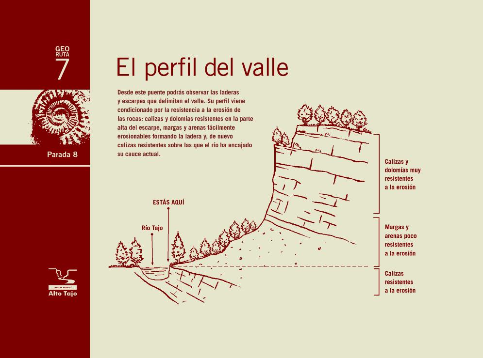
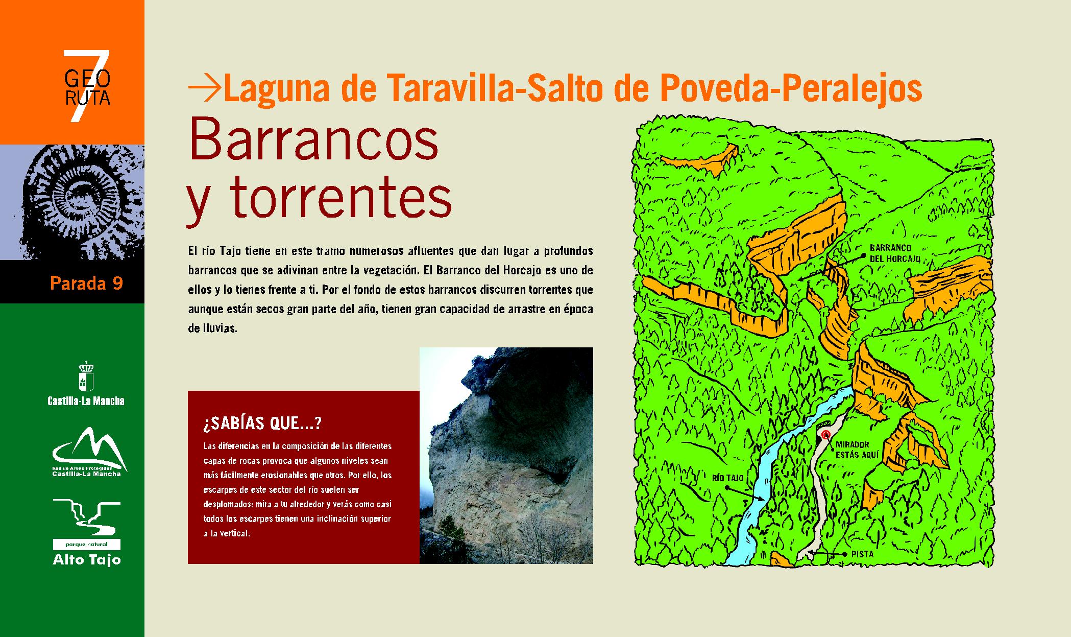
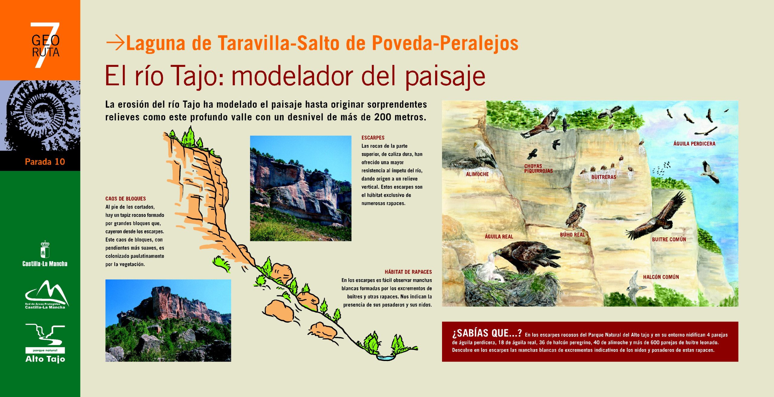
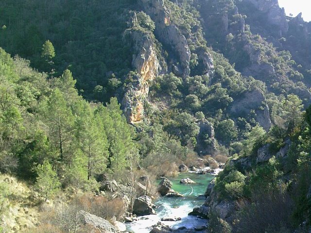
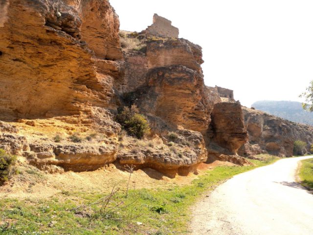
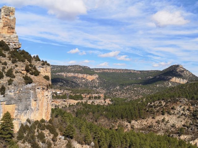
This route allows you to explore a section of the Tagus River Canyon, the protagonist of the Natural Park. Canyons, ravines, torrents, springs, waterfalls and a beautiful lagoon They will show us the paths that the water travels in the upper course of the river. A pleasant walk to get to know the longest river on the Iberian Peninsula better.
CHARACTERISTICS
Length: 15 km
By car or bike: Only the branch of the track (stops 1, 3, 9 and 10) with a total of 12 km.
Walking: Access to stop 2 is via a short 15-minute walk. The descent to stop 4 is via a steep path that can be difficult. From there to stop 8 the walk is beautiful and takes just under 2 hours to complete, including the trip there.
RECOMMENDATIONS: The route consists of several sections. Some can only be done on foot and others by car or bike.
Download the interactive brochure here and let yourself be carried away




 English (UK)
  Español