Routes and trails in the Geopark environment.
The Geopark has a wide Network of Trails. Signposted routes and itineraries to have attractive access to knowledge of its natural, geological and cultural heritage.
The objective is to provide this territory with a set of interpretation resources, among which the following stand out:
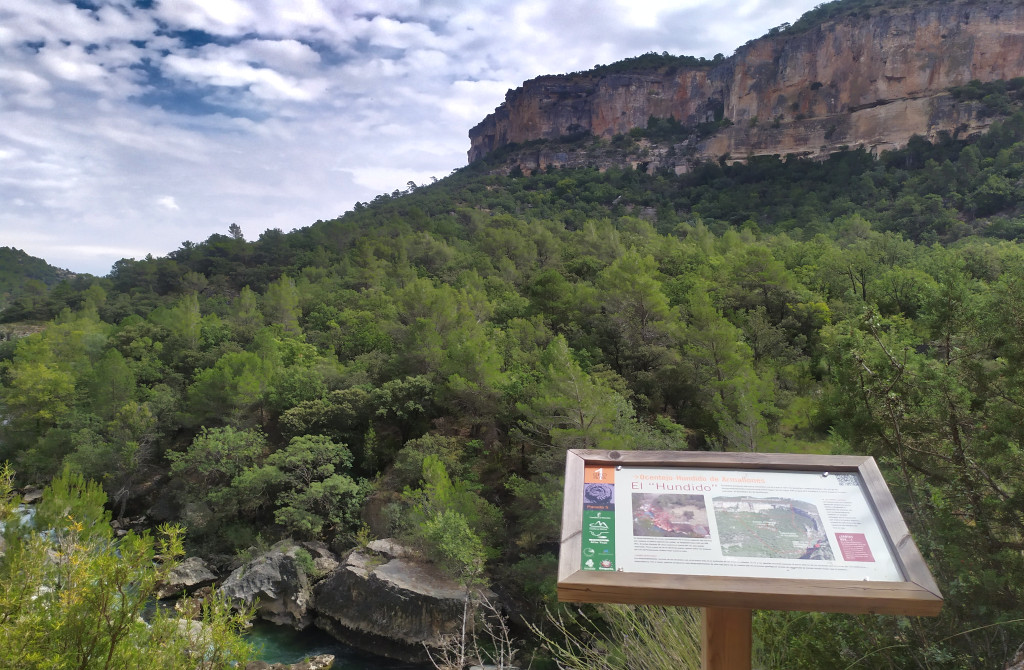
These are itineraries designed to explore the main geological elements of the region, understanding their genesis and importance. They can be explored on foot or by vehicle, most of them being mixed in nature. Many of the routes begin or end in recreational areas or towns that have geotourism services, which facilitates the logistics of the visit.
The Molina Region currently has 11 self-guided geological interpretation routes (with a total of 15 kilometers and 108 stops equipped with panels and plaques), a collection of ten brochures to visit these routes and geological information in the four interpretation centers of the Natural Park
The Camino Real de Aragón, also known as the path or path of the Aragonese, was an important medieval itinerary in inland Spain. It served as a communication route between the kingdoms of Castile and Aragon and for this purpose it crossed from East to West, among others, the province of Valladolid following the course of the Duero on its right bank.

Laid out and launched during 2012, it is a signposted itinerary equipped with a route meter available at the tourist information points in the region. This road, for about 300 km, connects the most notable places of geological interest in the Region. It has been designed in such a way that it is also attractive to do it by motor vehicle (respecting current regulations) and on foot.


There are 11 general visiting routes created since 2004 and that aim to cover the succession of varied landscapes that make up the Molina Region and 12 panoramic viewpoints. They are equipped with signage and interpretive panels and some of them have interpretive brochures on the environmental values of the route.
There are 13 routes that have a route start panel where the characteristics of the route are explained and are marked with white and green beacons. Some of these routes have interpretive panels along the route and brochures explaining the natural and ethnographic values.
There are two types: ethnographic and fauna.
The former bring the visitor closer to constructions linked to the traditional uses developed by the inhabitants of the area such as salt mines, huts, farrowing pens or lime pits.
Itinerary that, thanks to its diverse equipment such as panels, directional beacons and pedestrian bridges among others, allows you to travel the entire course of this river from its source to its mouth in Lisbon.
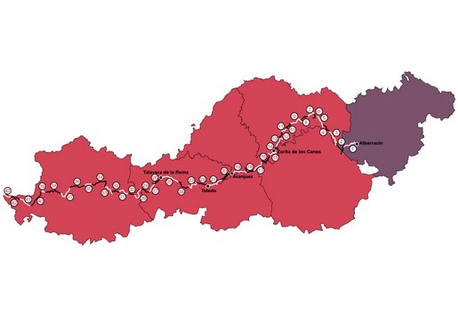

Thematic route that runs through places of medieval historical interest related to the exploits of this historical figure.
 English (UK)
  Español