
Sunken Armallones
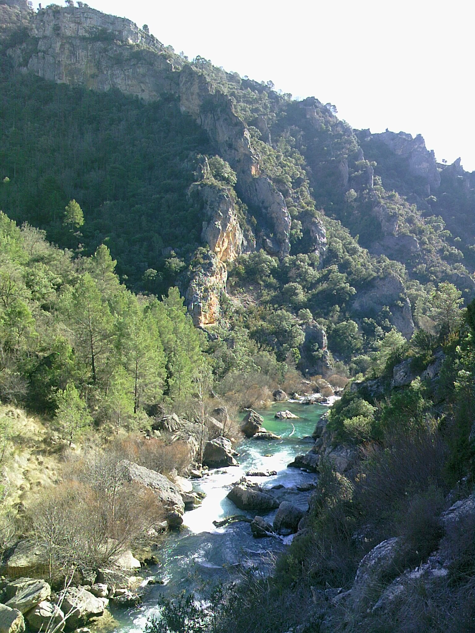
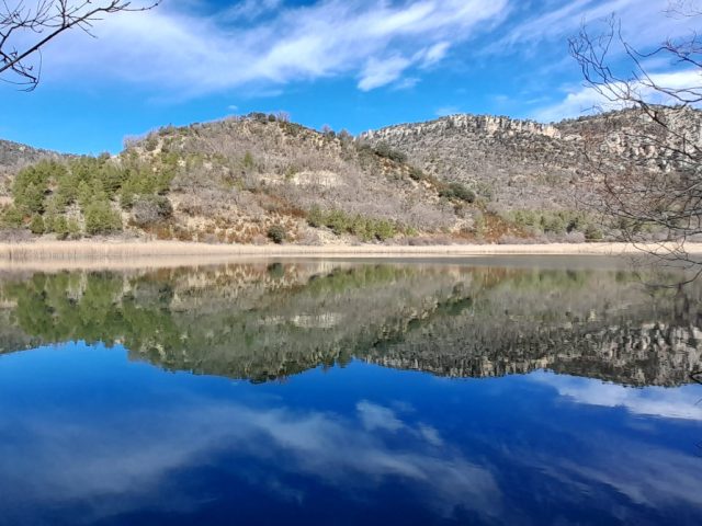
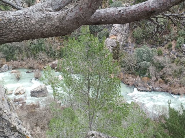
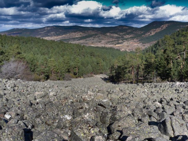
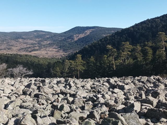
Pit with the greatest environmental wealth, its name is due to the rockfall caused by a strong earthquake with its epicenter in Portugal that occurred in the mid-16th century. This landslide created a natural dam on the Tagus River that reduced its flow until it was almost dry for a certain time.
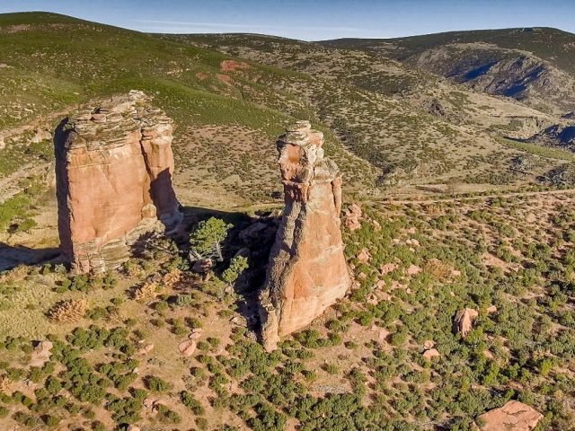
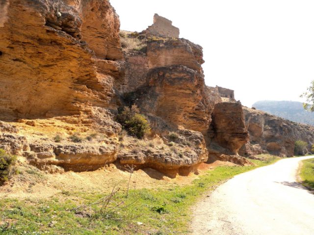
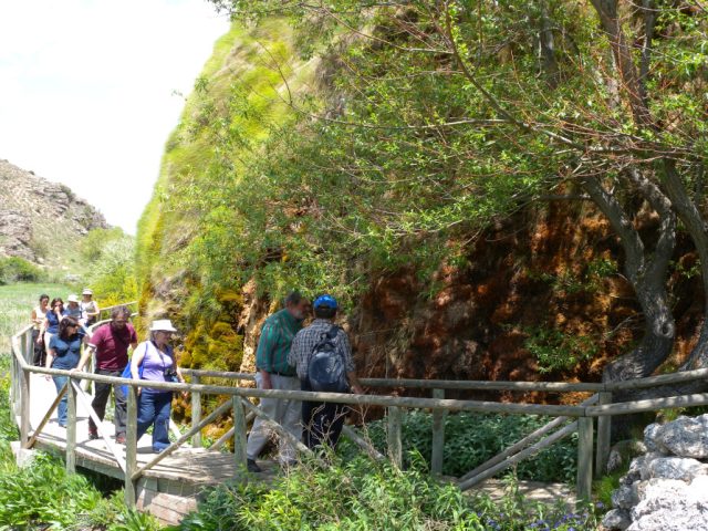
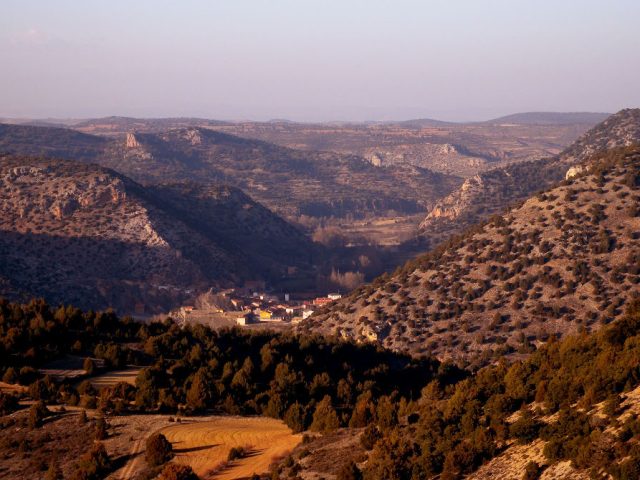
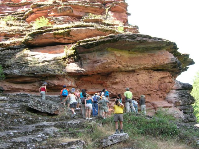
In this place we can observe aspects of the regional geology such as folded and eroded strata in the shape of blades, travertine buildings, details of the interior of the folded layers.
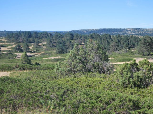
We can also appreciate its botanical richness since species of flora with Ibero-North African, Euro-Siberian and Mediterranean distribution come together. As for fauna, the community of rock birds of prey stands out, which find in the rock walls of the canyon an ideal habitat for nesting (bonelli's eagle, Egyptian vulture, griffon vulture and peregrine falcon), as well as that of forest raptors (goshawk, hawk , etc.) and small passerine birds (crossbill, finch, tit, etc.) and, in the group of large herbivores, the roe deer and the deer. In the river section we will find good formations of gallery forest, which offers shelter to fauna species such as the otter, the chiffchaff, the tit, the kingfisher, the water snake and the common trout.
How to get: The most representative area is covered by the georoute no. 1 of the Alto Tajo Natural Park that starts from the town of Ocentejo.
Observations: During the nesting period for birds of prey (February 1 to June 15), it is prohibited to go beyond the last stop on the georoute to prevent the laying of these birds from being ruined.

 English (UK)
  Español