
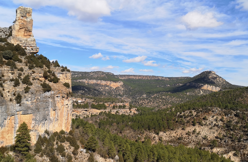
GEORUTA 4: Water, sculptor of the landscape
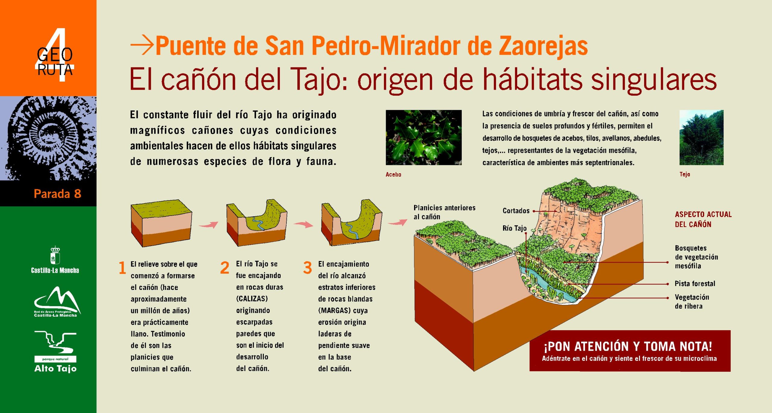
San Pedro Bridge – Mirado de Zaorejas
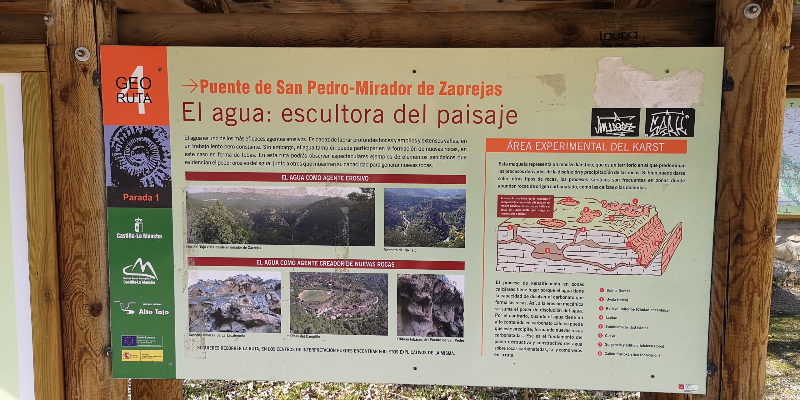
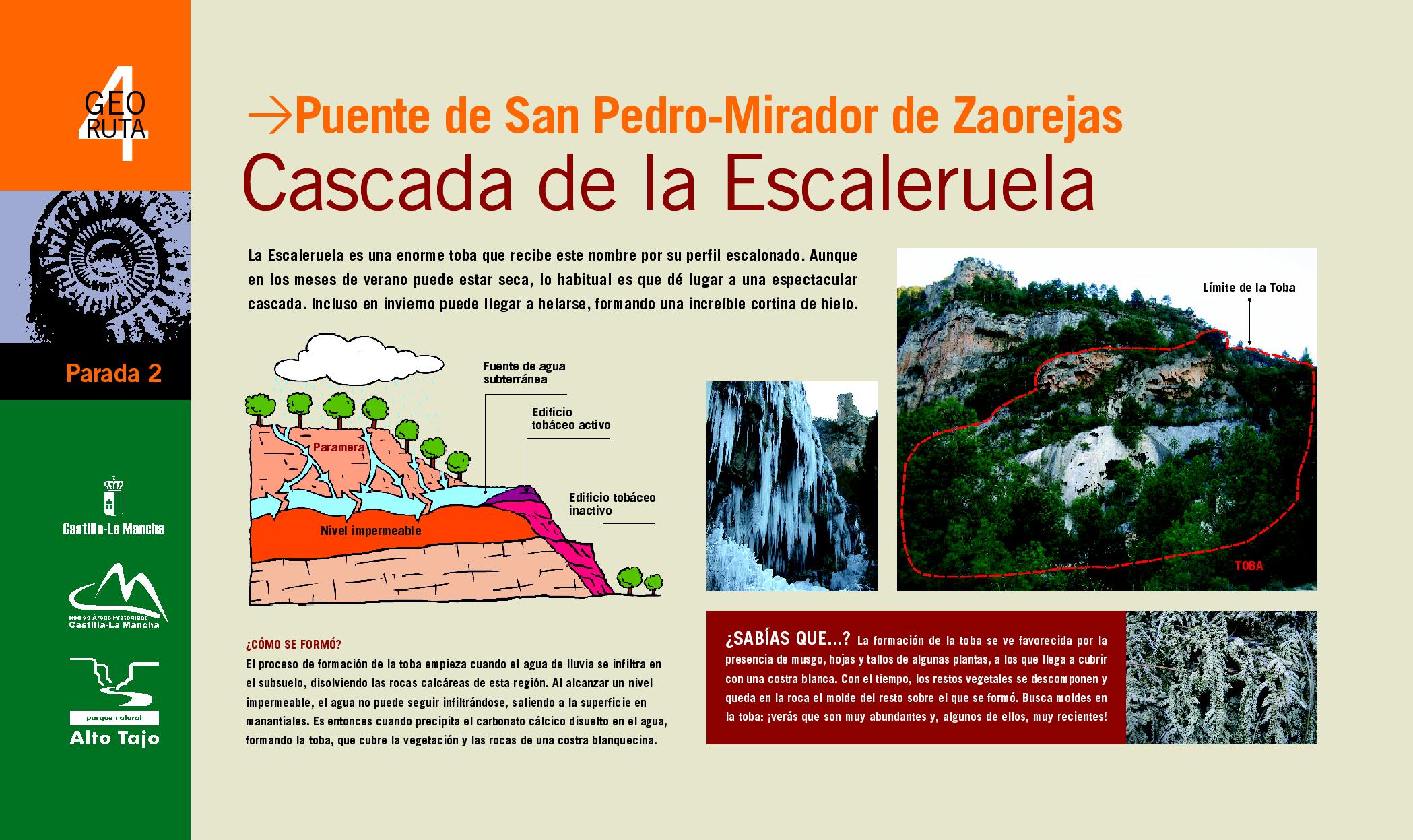
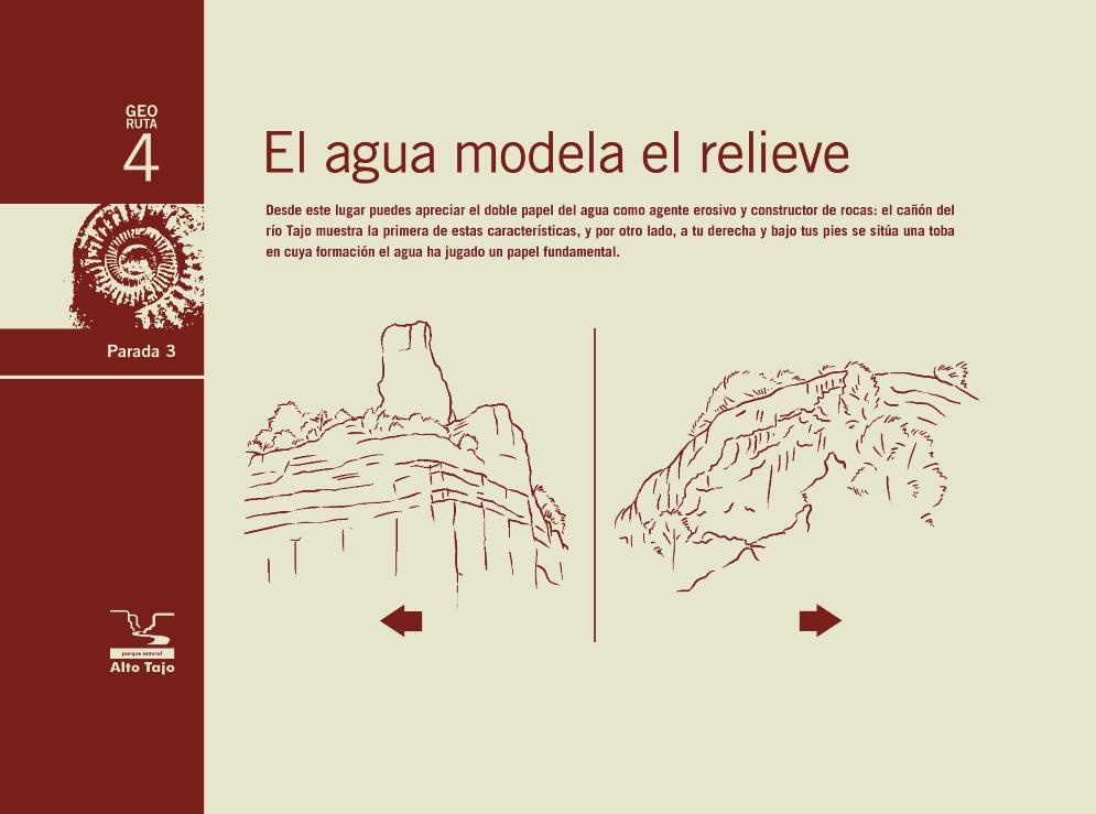
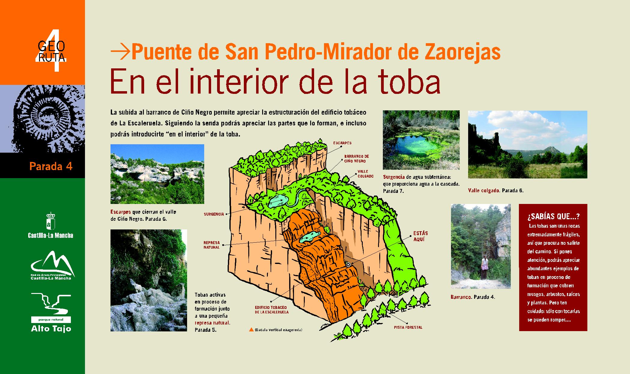
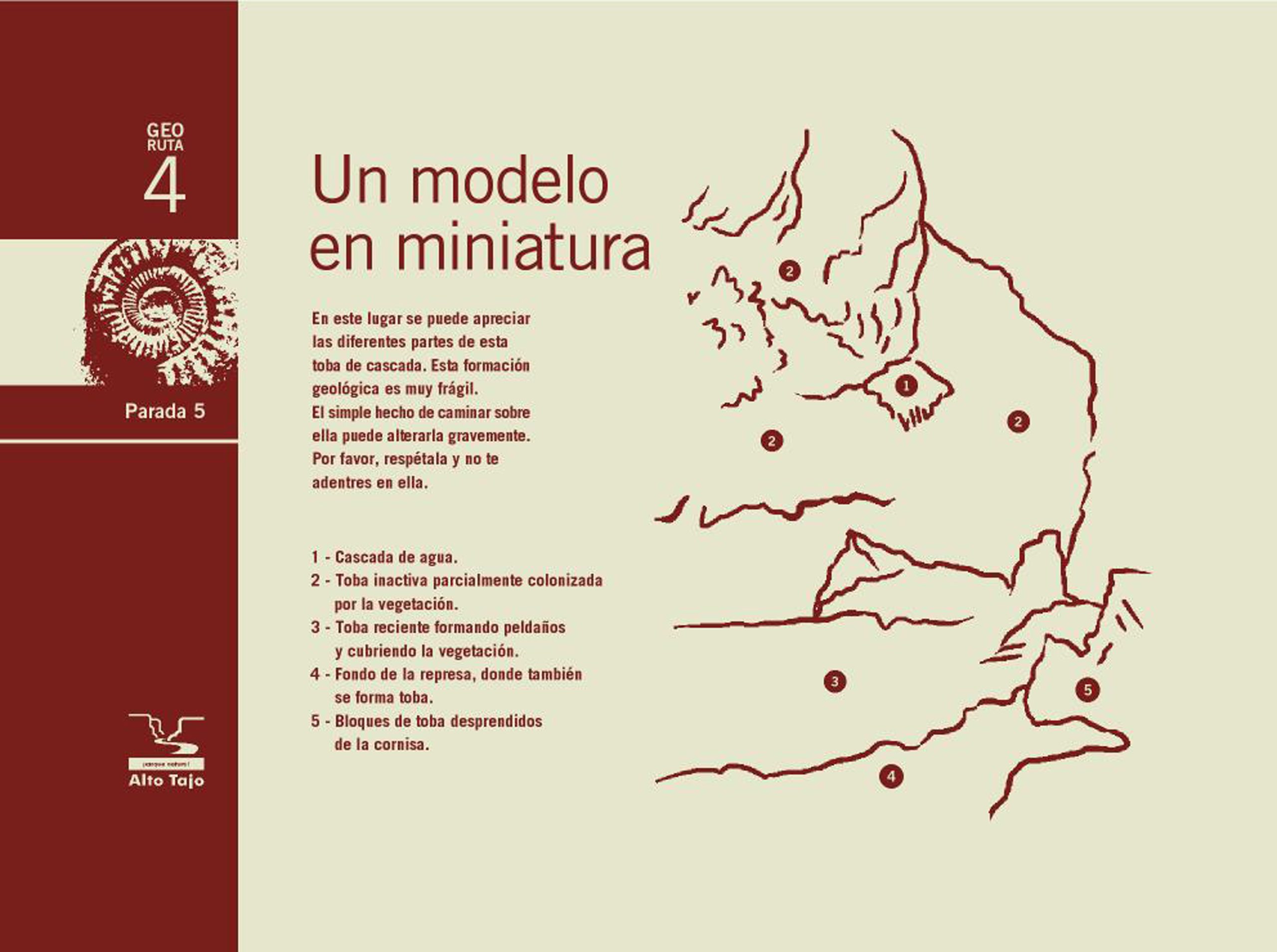
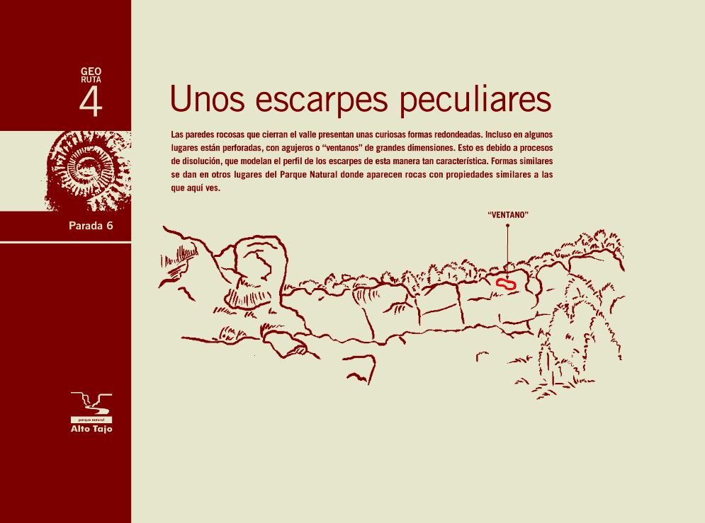
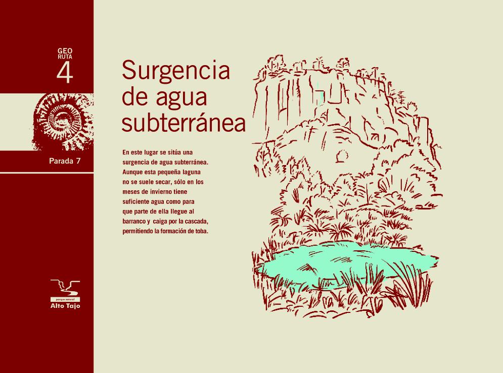
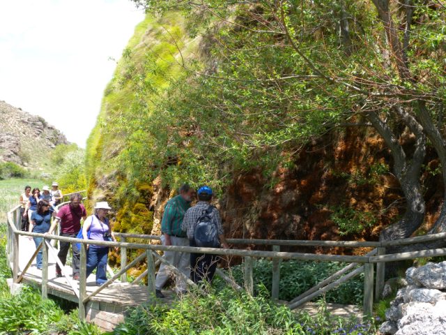
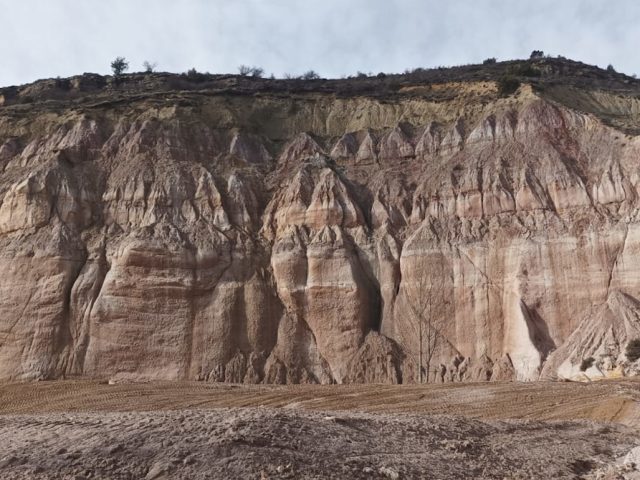
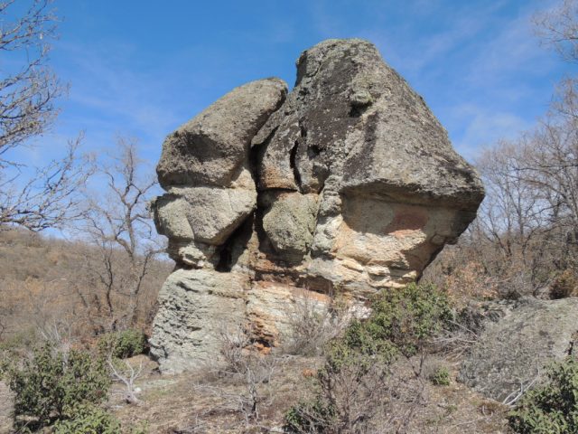
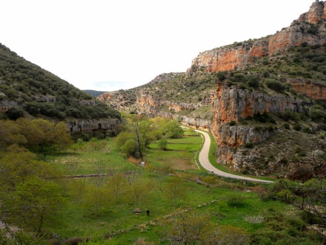
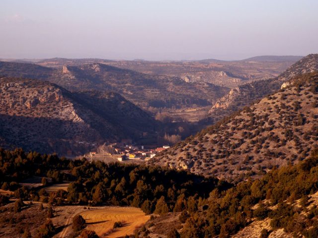
This route will allow you to better understand some very unique and representative geological elements of the Natural Park: the Tagus canyon and the tuffs of the San Pedro Bridge and from La Escaleruela. In the formation process of all of them, water has played a fundamental role, since the sickle was formed by the slow erosion of the Tagus River, and the tuffs by the precipitation of the carbonate contained in the water of rivers and springs.
Two good examples of how water is capable of sculpting the landscape, either by eroding the relief or participating in the creation of new rocks, giving rise, in both cases, to very spectacular geological formations.
CHARACTERISTICS
- Length: 13 km
- By car: 3 hours only the section between stops 1 and 2 and the access to stop 8.
- By bike: 4h
- Walking: The section between stops 1 and 2 cannot be traveled on foot as it runs on a road without a shoulder. Access between stops 3 and 7 is on foot along a path of medium difficulty and steep sections. In total this section requires 1.5 hours (i/v). If you want to walk to the viewpoint at stop 8, you will have to add 1.5 more hours (round trip).
Download the interactive brochure here and let yourself be carried away
RECOMMENDATIONS: The route runs through places of high fragility. We ask you to be especially respectful of the environment around you.

 English (UK)
  Español