GEOROUTE 9: Sierra de Orea
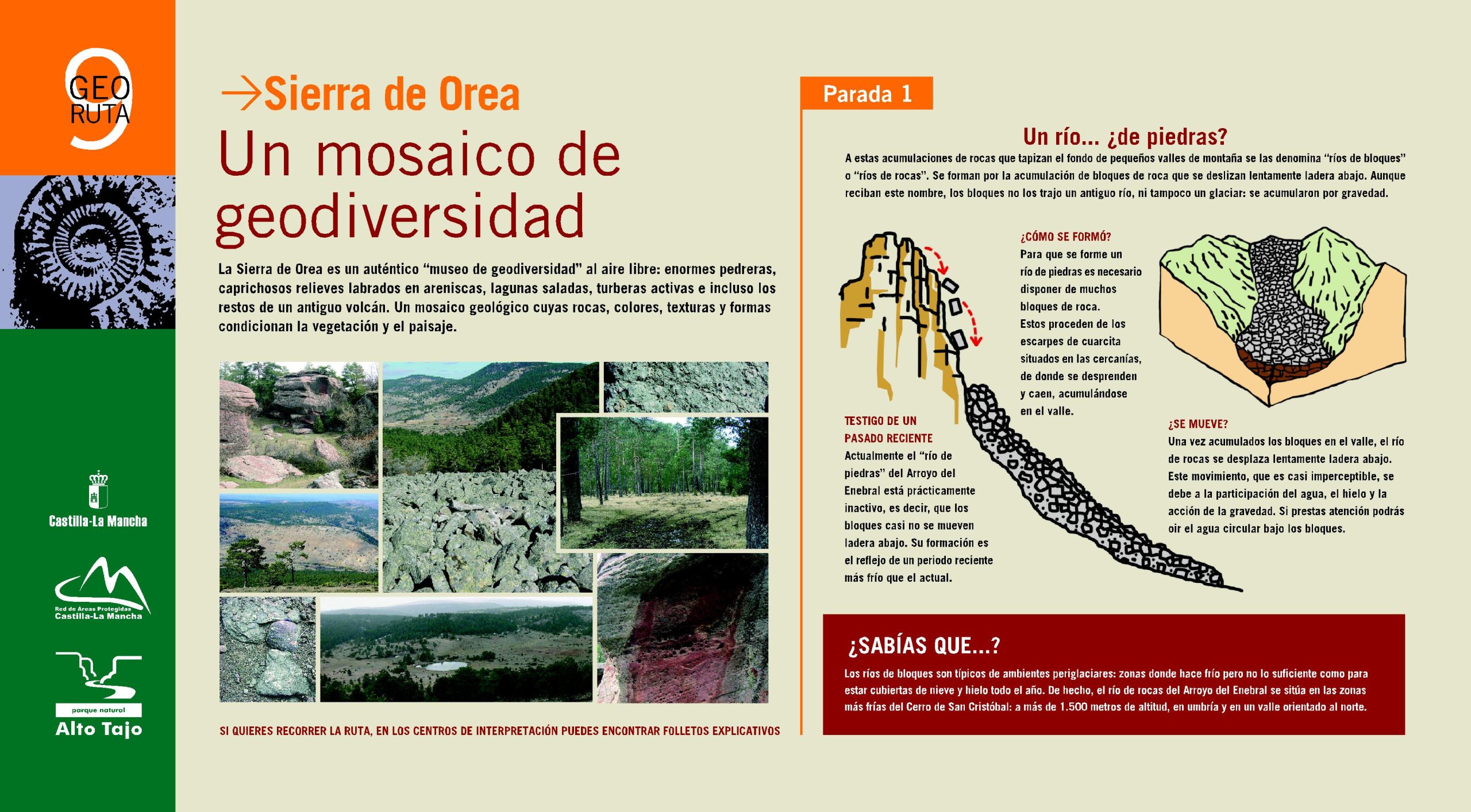
A mosaic of geodiversity
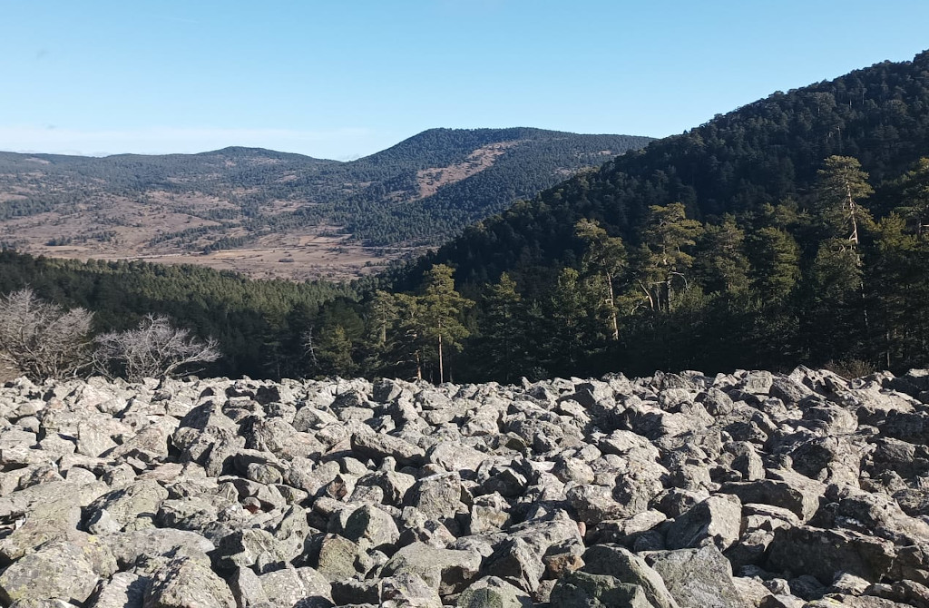
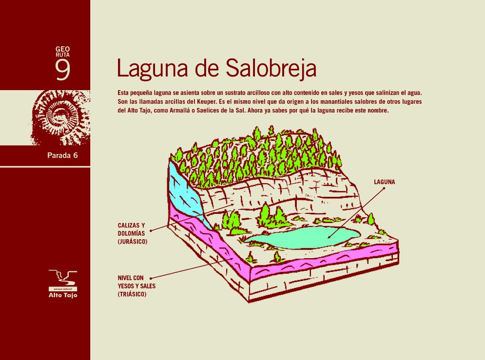
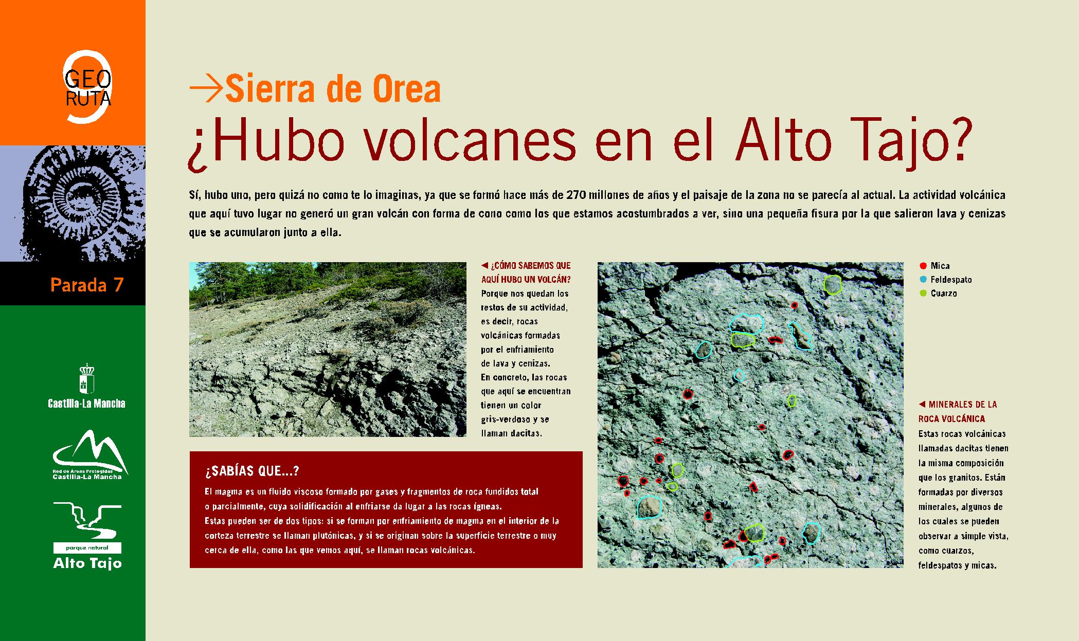
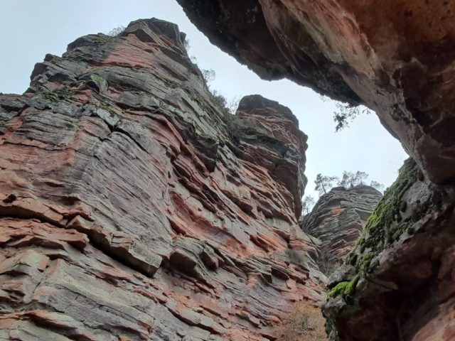
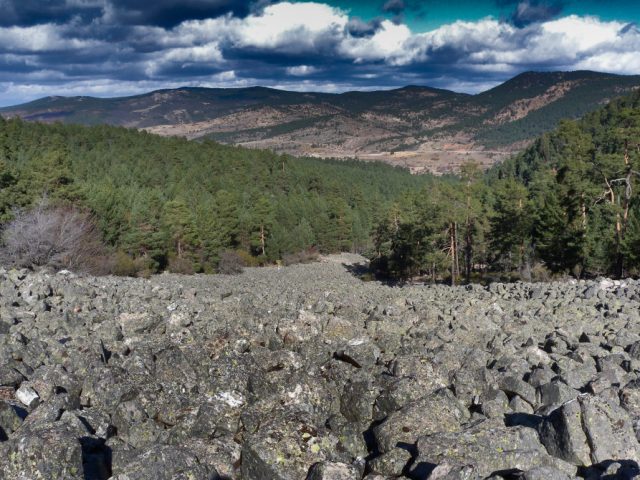
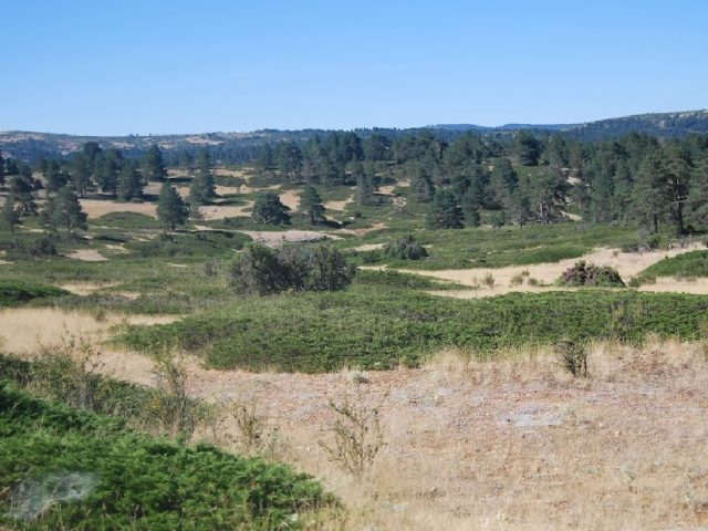
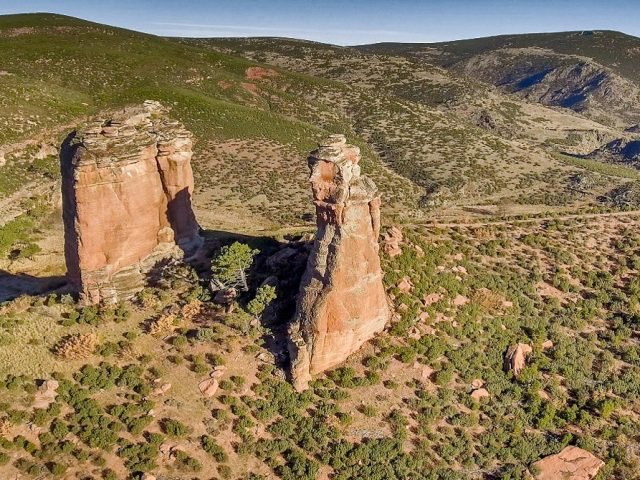
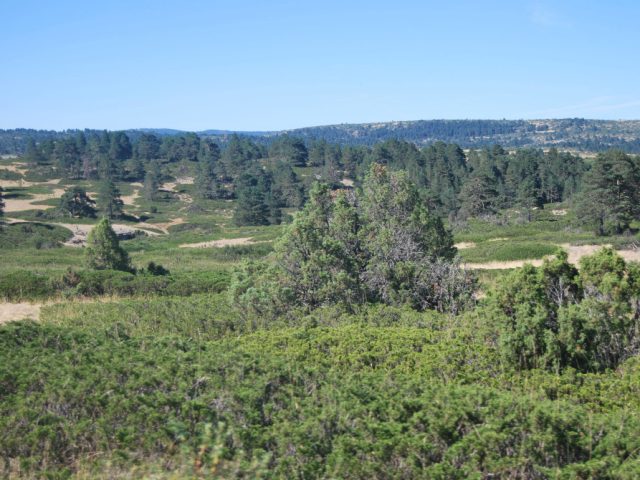
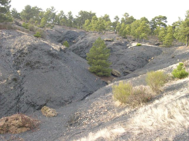
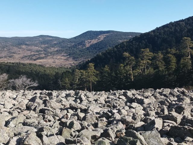
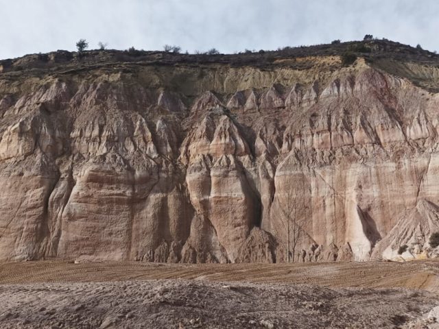
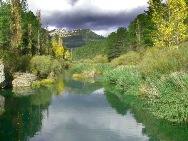
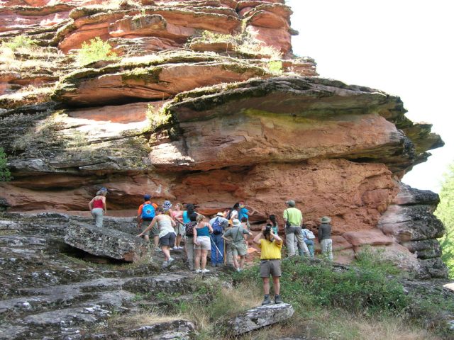
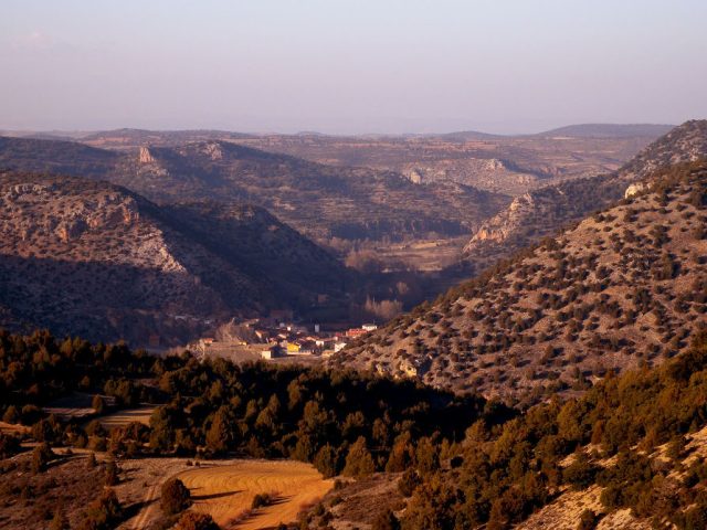
This route runs through the southeastern end of the Sierra de Orea. The geological diversity of this area is spectacular: enormous quarry, whimsical reliefs carved in sandstone, salt lagoons, active peat bogs and even the remains of an ancient volcano. A mosaic of geodiversity whose rocks, colors, textures and shapes condition the vegetation and landscape, very different from those found in other sectors of the Natural Park.
CHARACTERISTICS
Length: 21 km
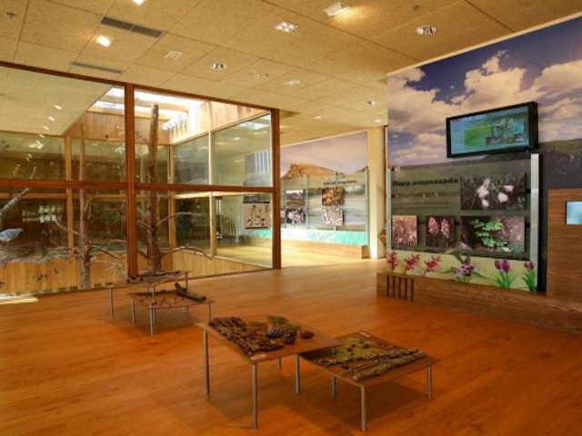
Recommendations: In winter, the road that goes up San Cristóbal Hill may not be passable due to snow or ice. Ask about your status “El Sequero” Interpretation Centre in Orea.
By car: 4 HOURS.
By bike: 5 HOURS. Accessible the entire route. Walking: Access to stops 1,2,4 and 5 requires walks of just a few minutes. Access to stop 6 is through a 2-hour excursion.
Download the interactive brochure here and let yourself be carried away


 English (UK)
  Español