
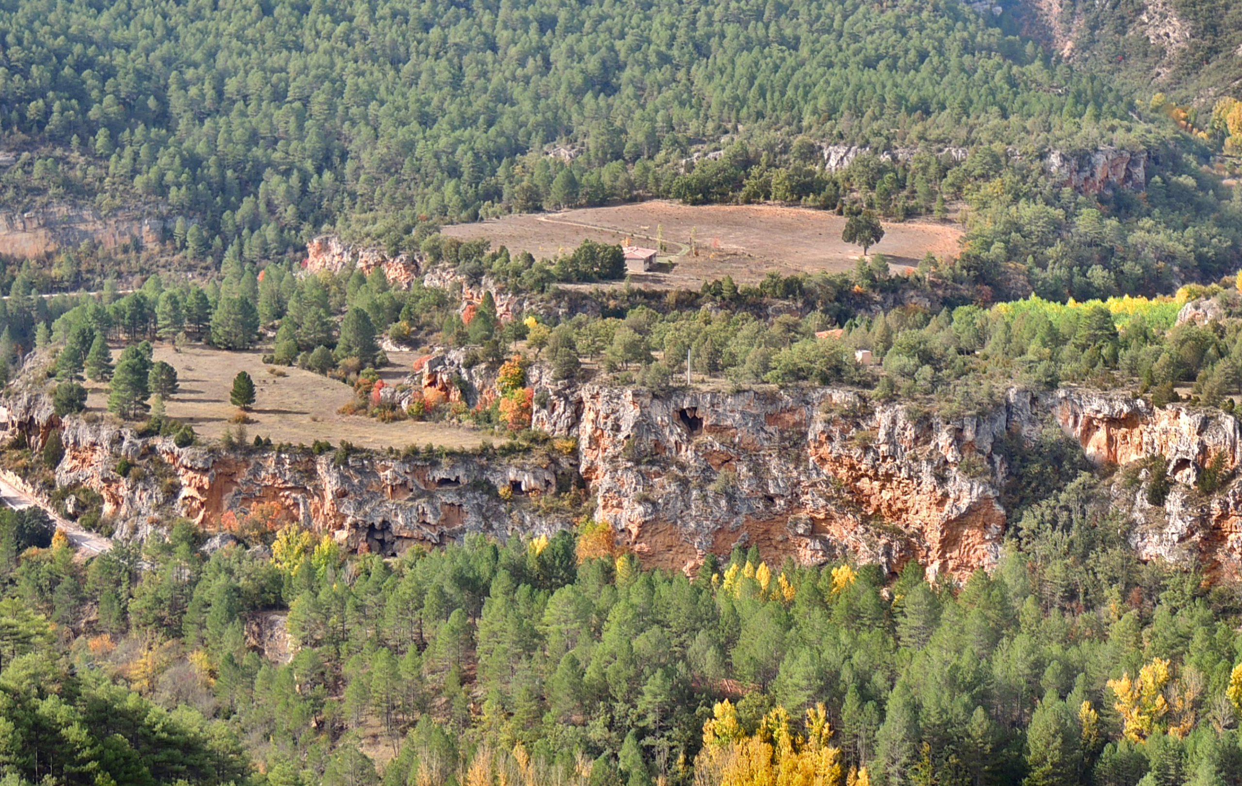
Tuffaceous buildings of the San Pedro Bridge
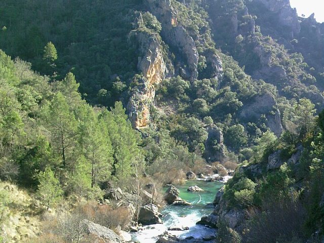
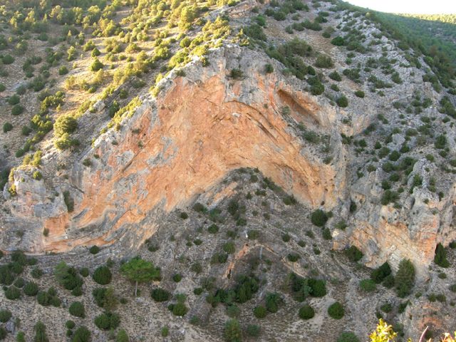
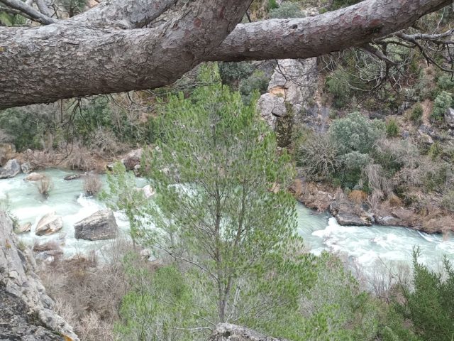
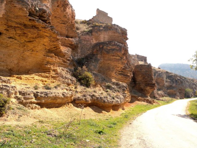
Description: The infiltration of rainwater in the plateau of the paramera generates upwellings on the slope of this area of the Tagus River canyon, at the outlet of which there has been an intense precipitation of carbonates during the last hundreds of thousands of years, The result is a set of travertine buildings with an exceptional volume. Currently they continue to be active continuously in the Campillo waterfall and seasonally in the Escaleruela.
They have great scientific importance since they contain invaluable information about the environmental conditions at the time of their formation and this information, together with the presence of tuff growth structures and even preserved plant remains, has contributed to the characterization of the evolution of the climate during the quaternary.
How to get there: Georoute nº4 of the Alto Tajo Natural Park runs through this area, stops 2 to 5 of this itinerary go directly up the Tobáceo de la Escaleruela Building. This Georoute begins at the San Pedro Bridge
located on the GU – 914 highway, about 30 km from Molina and 8 km from Zaorejas.
Observations: The path that ascends through the travertine crosses very delicate calcareous structures with valuable plant species that we must respect as much as possible, trying not to deteriorate.

 English (UK)
  Español