GEOROUTE 10: Sierra de Caldereros
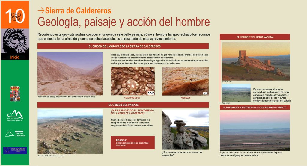
Geology, landscape and human action
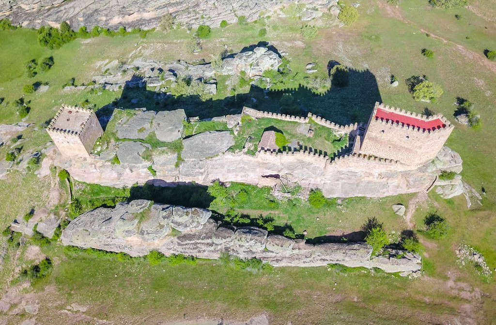
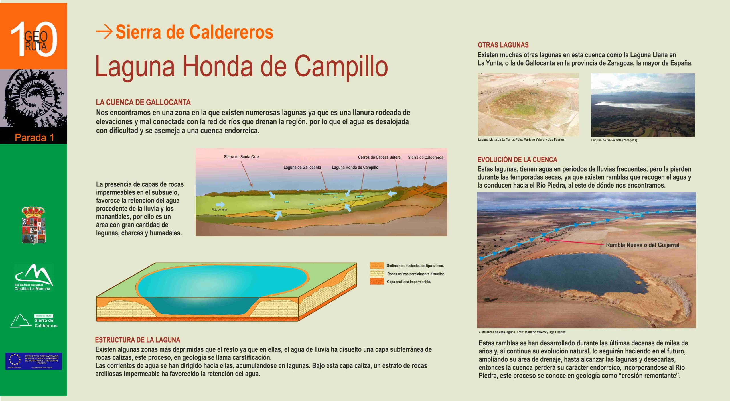
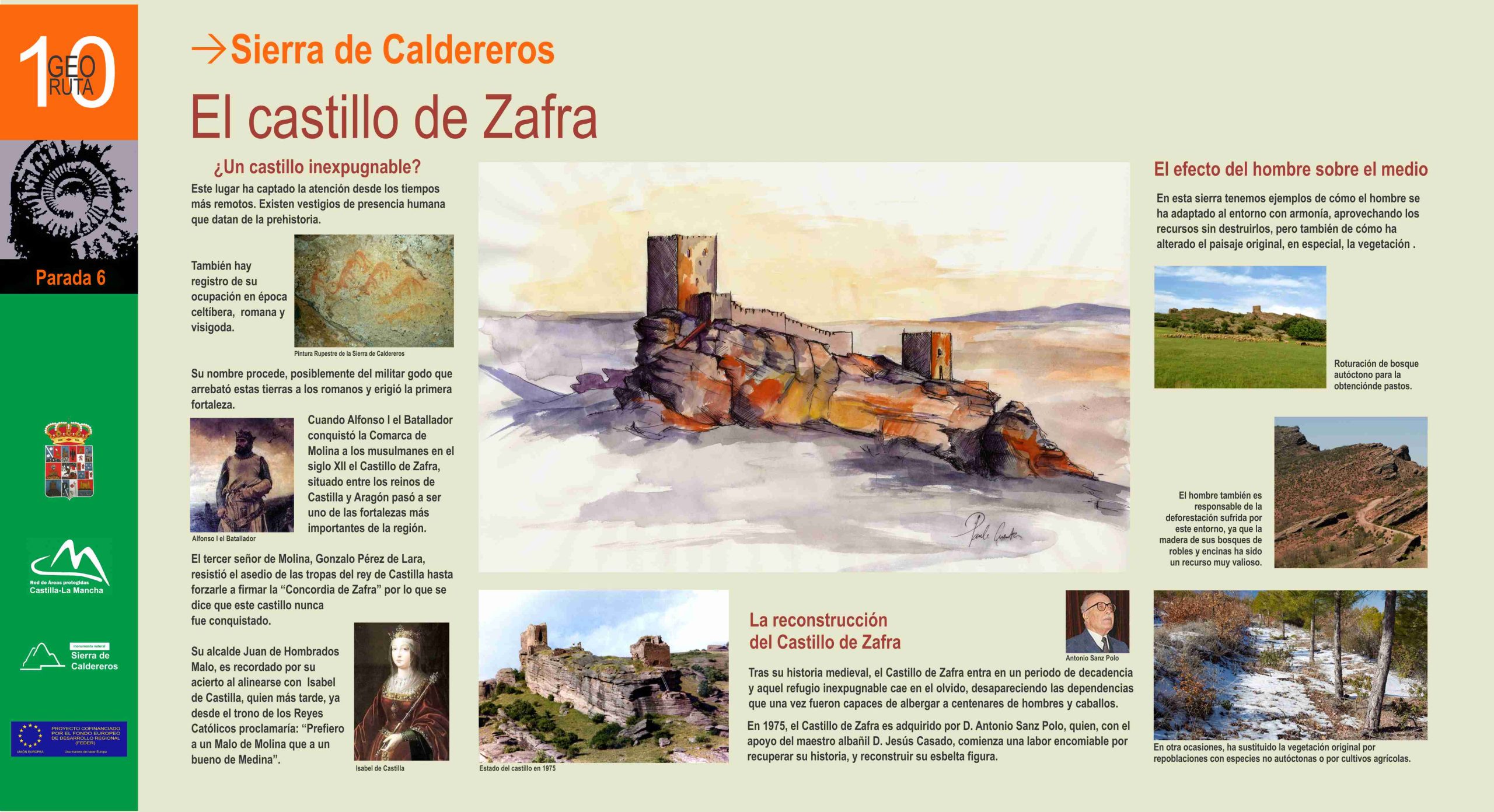
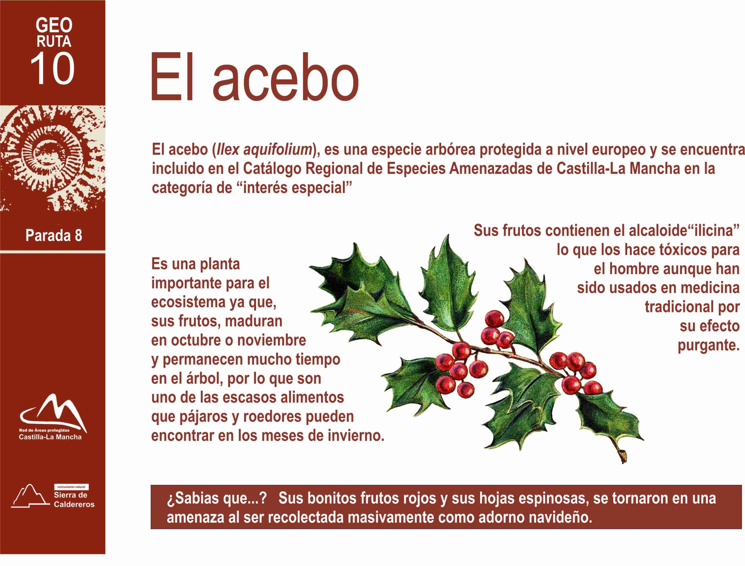
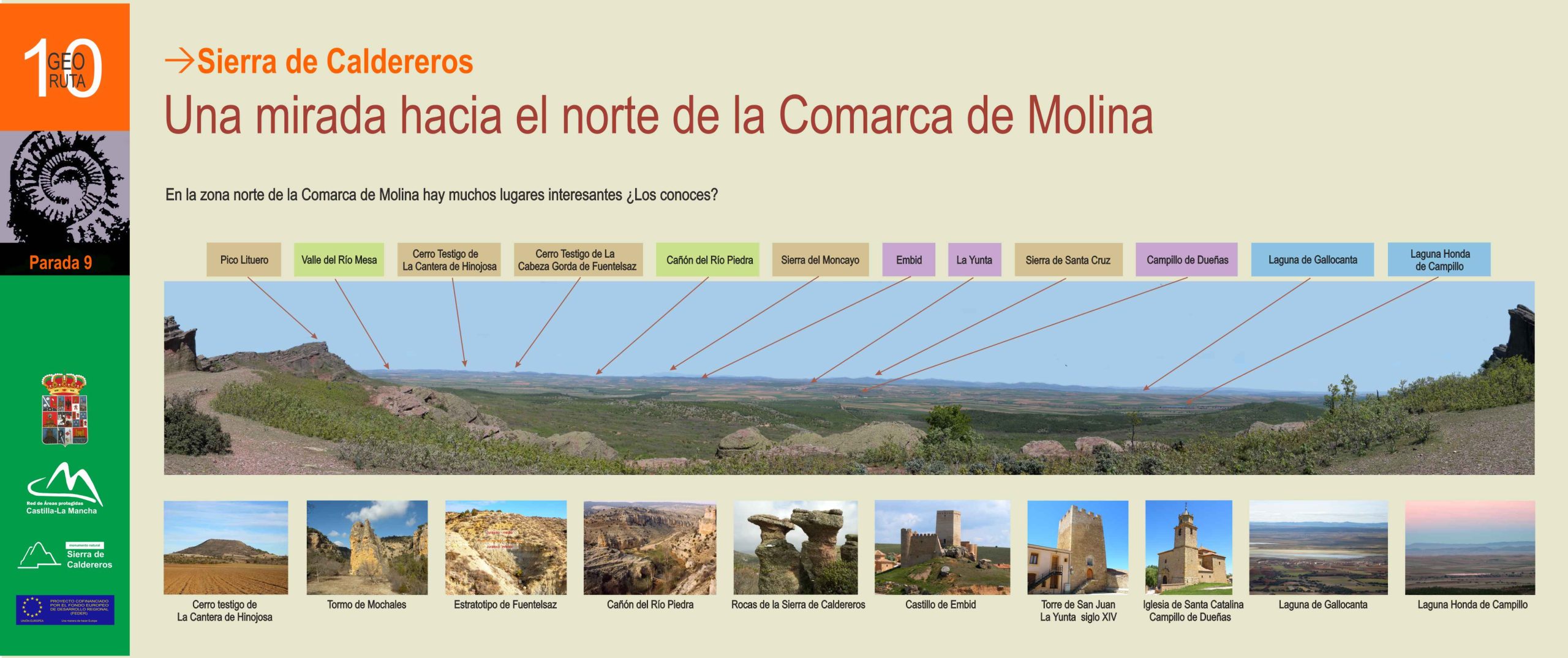
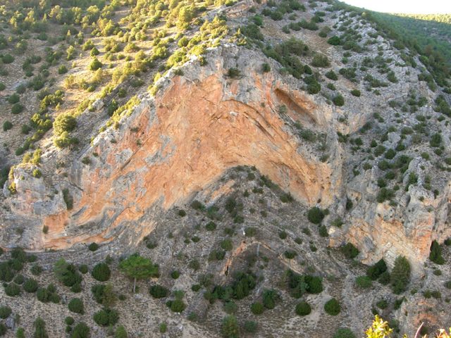
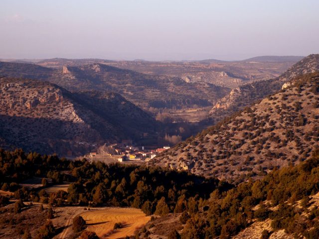
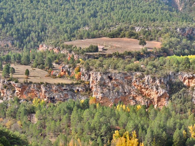
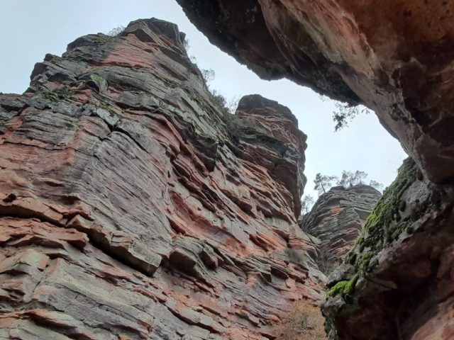
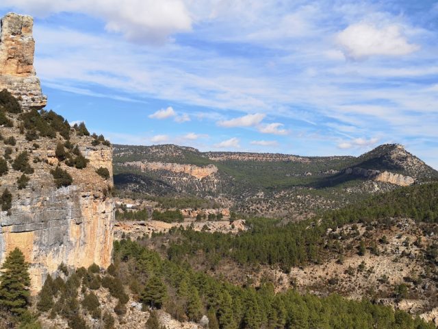
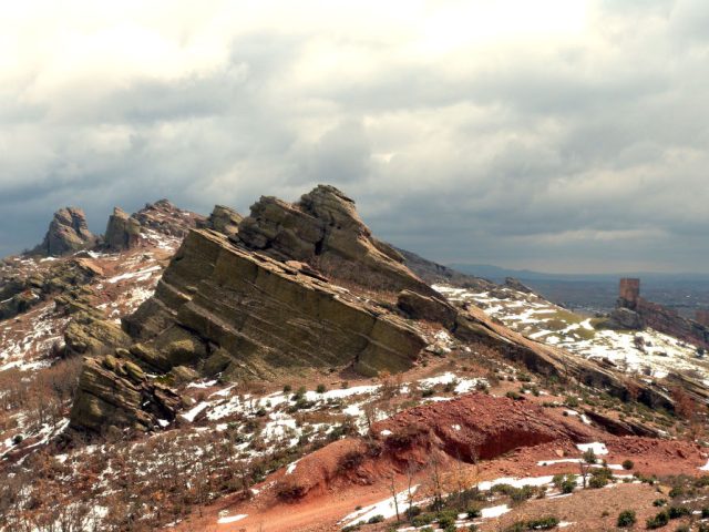
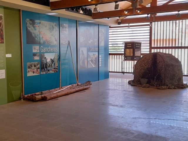
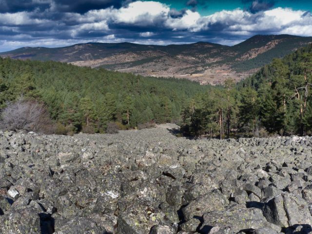
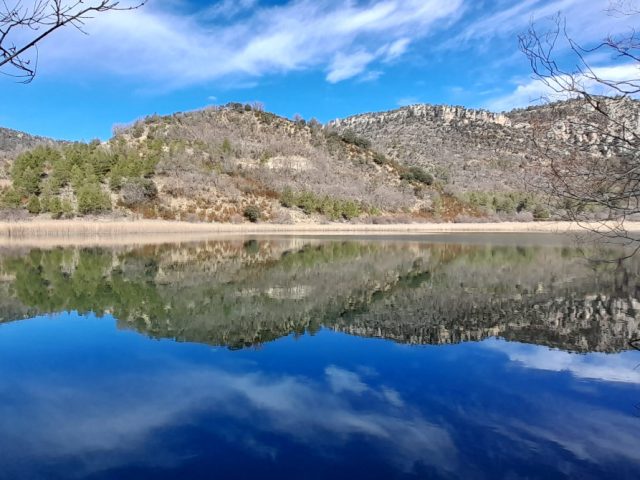
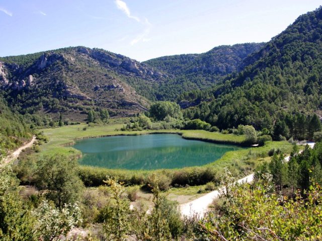
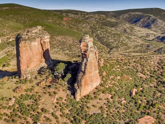
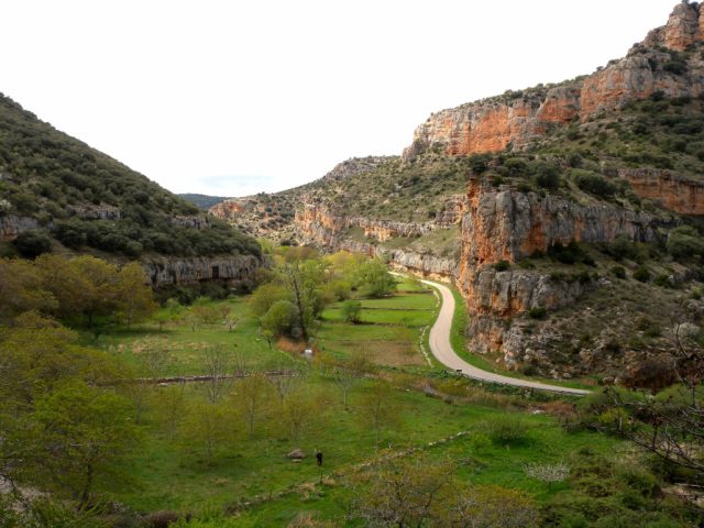
This route takes you from the lagoons at the foot of the mountain range to its crown, exploring its biodiversity, its rocks, its unique relief and the ways in which man has taken advantage of the resources that this environment has offered him, sometimes transforming it and other times harmonious way. From the viewpoint located at the last stop, you will be able to contemplate a wide panorama that reaches the limits of the eastern area of the Geopark.
CHARACTERISTICS
Length: 15 km
Recommendations: When traveling along forest roads, some sections may present difficulties for vehicles. You must travel at reduced speed and take extreme precautions against possible obstacles. He access to stops 7.8 and 9 It must be done exclusively on foot.
By car: 1.5 HOURS.
By bike: 2 HOURS. ACCESSIBLE ALL ROUTE.
Walking: 5 hours
Download the interactive brochure here

 English (UK)
  Español