We invite you to discover a territory of diversity
Wide moors, narrow canyons, vast rivers, dense and dense forests and a range of places of geological interest waiting for you to discover them
Collaborating companies
Do you want to be part of a work team committed to the growth of the region? Are you looking for more visibility for your business? Do we collaborate together?
We share our logo so that you can use it as a member of this great region

Training courses for collaborating companies and their members

Contribution of tourist material and environmental education campaigns
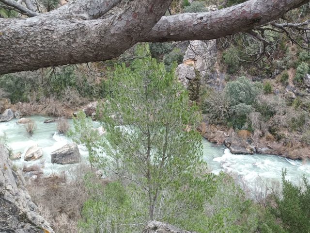
This route enters the canyon of the Tagus River, in the area of “Hundido de Armallones”, one of the most spectacular enclaves of the Natural Park. In this place the erosive power of the river is evident, which has carved a deep canyon with vertical walls in which…
View more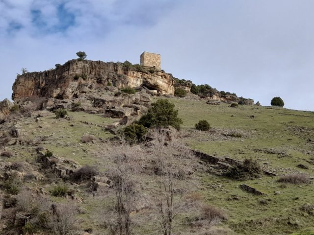
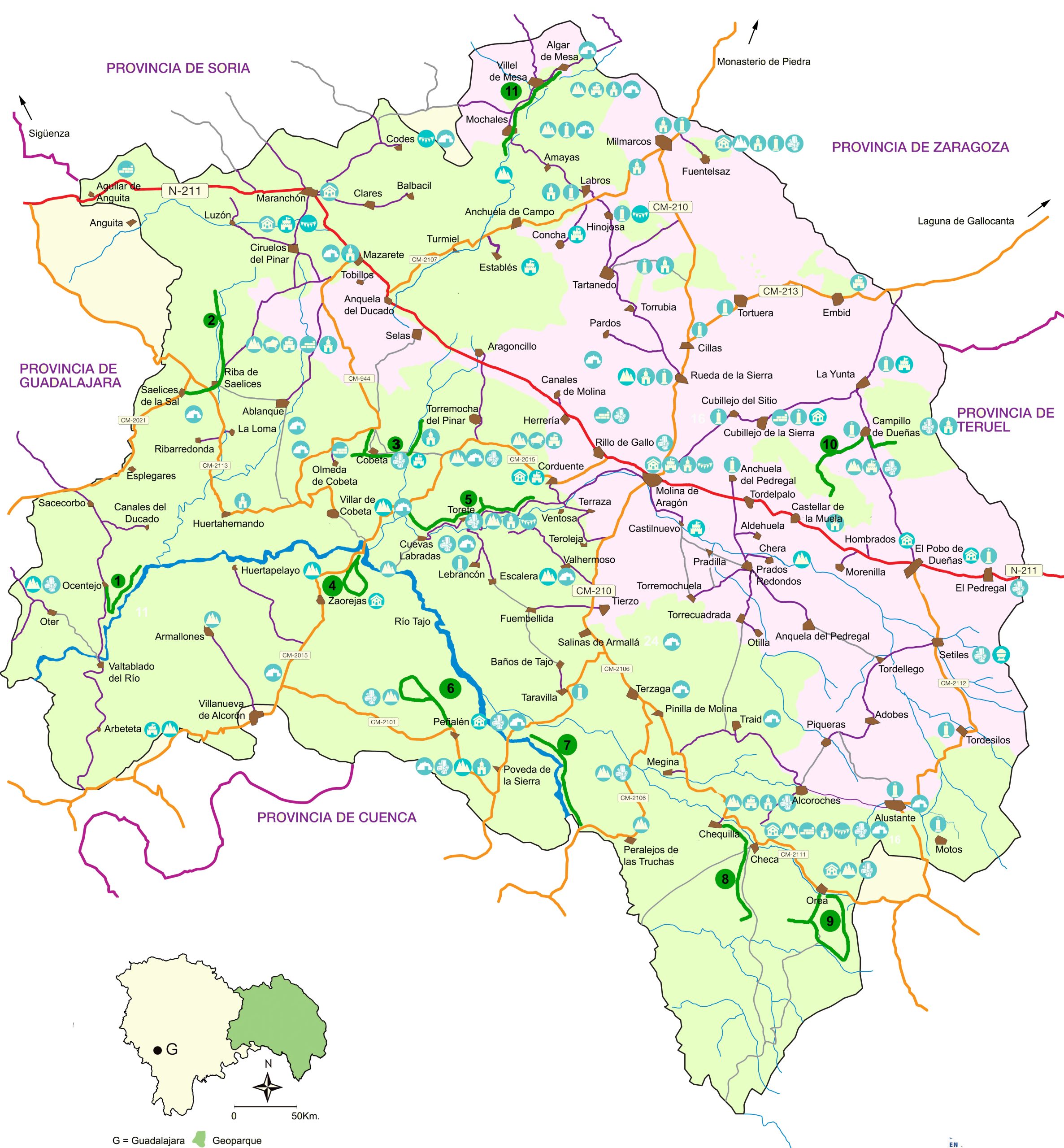
This route, which runs mainly through the Valley of Los Milagros, will show you the keys to better understand the participation of geology in the landscape of this sector of the Natural Park. The relief, the vegetation and even the uses that man has given to the territory are conditioned by…
View more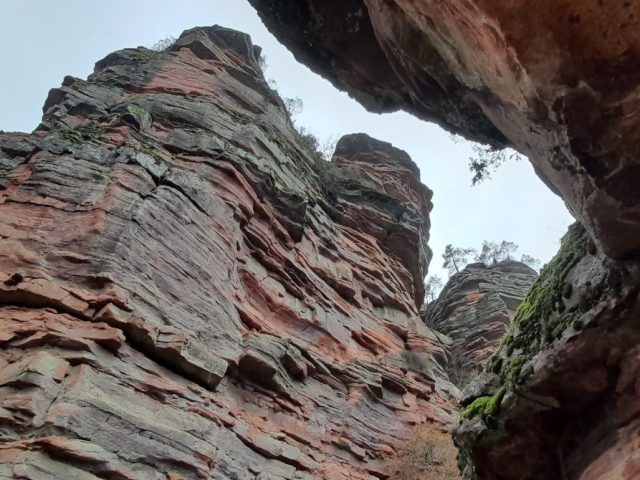
This route shows the sustainable use that the inhabitants of the area have made of the geological resources existing in the Natural Park. By extracting raw materials they obtained what was necessary for the construction of homes, manufacturing tools and obtaining energy. But they also took advantage of the particularities of…
View more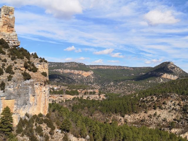
This route will allow you to better understand some very unique and representative geological elements of the Natural Park: the Tajo canyon and the tuffs of the Puente de San Pedro and La Escaleruela. In the formation process of all of them, water has played a fundamental role, since…
View more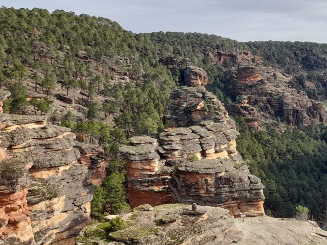
On this route, which takes in some of the most spectacular places in the Geopark, you can observe different types of rocks and discover what the environment in which they were formed was like. Specifically, you will visit rocks formed in ancient rivers, beaches and shallow seas. The reason is that, between the…
View more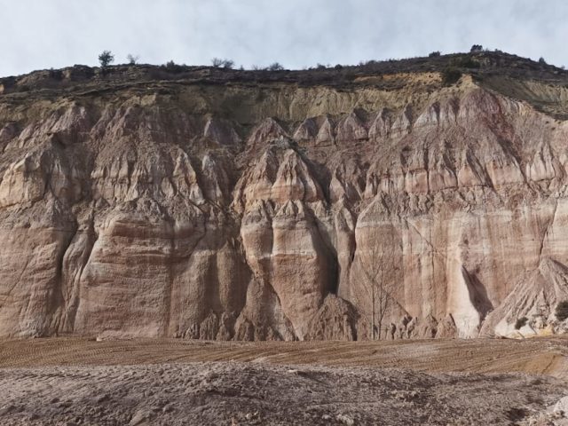
FEATURES Discover a surprising karst landscape and the use of some natural resources, as well as efforts to mitigate the impact of this. Length: 22 km By car: 4 hours. Access to stop 3 is via a forest track and may be difficult for non-suitable vehicles. Make sure you have a car with you.
View more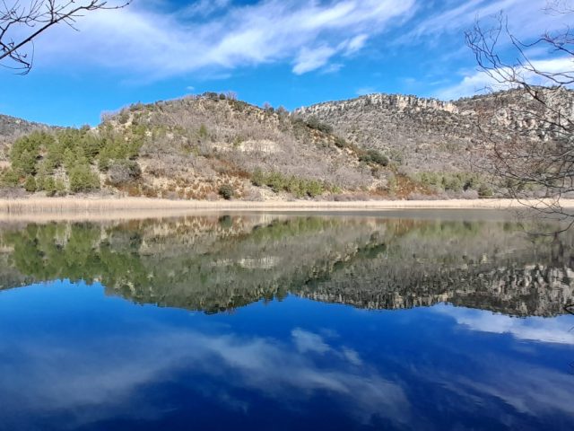
This route allows you to explore a section of the Tagus River Canyon, the protagonist of the Natural Park. Canyons, ravines, torrents, springs, waterfalls and a beautiful lagoon will show us the paths that the water travels in the upper course of the river. A pleasant walk to get to know the longest river in…
View more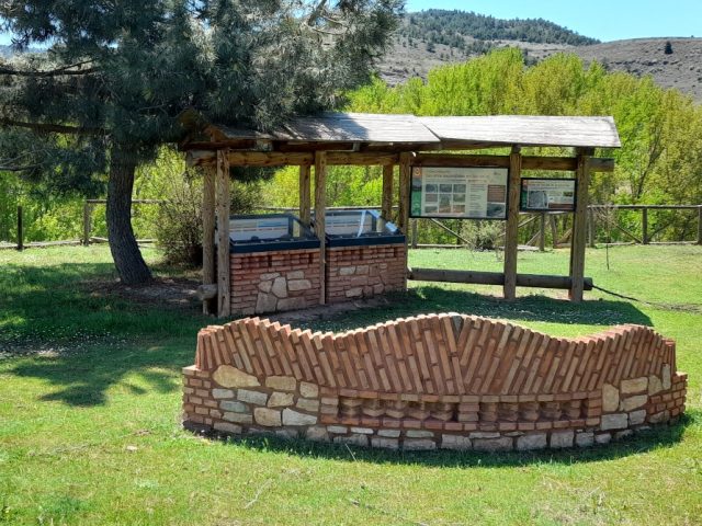
This route will help you discover the incredible secrets hidden in the rocks. With the help of the panels, you will discover extinct animals, rocks brought here by icebergs, reliefs of curious shapes and you will even be able to witness the formation of new rocks. Not very obvious information, but with a little bit of…
View more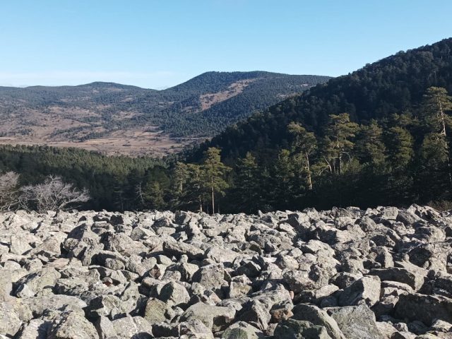
This route runs through the southeastern end of the Sierra de Orea. The geological diversity of this area is spectacular: enormous quarry, whimsical reliefs carved in sandstone, salt lagoons, active peat bogs and even the remains of an ancient volcano. A mosaic of geodiversity whose rocks, colors, textures and shapes condition the…
View more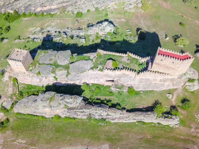
This route takes you from the lagoons at the foot of the mountain range to its crown, exploring its biodiversity, its rocks, its unique relief and the ways in which man has taken advantage of the resources that this environment has offered him, sometimes transforming it and other times harmonious way. From the…
View more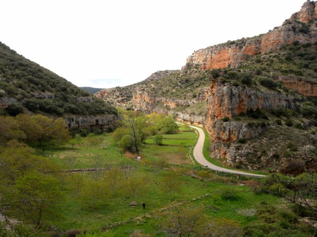
This georoute leads through this beautiful valley, discovering how the Mesa River is decisive in every aspect, from the landscape and geology that is revealed on its slopes, to the ways of life of its inhabitants. Also explore the multiple ways in which they have taken advantage of it as…
View more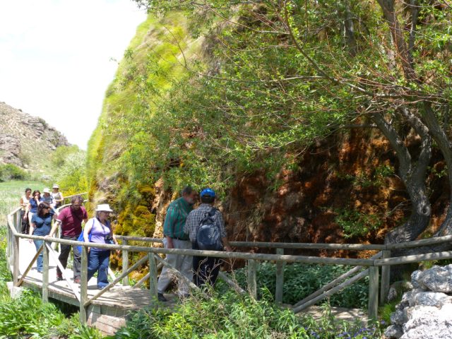
The tuffaceous building of "La Aguaspeña" is one of the many tuffaceous formations that we can observe around the Tagus River, it is one of the most recently formed rocks that we can find. In this formation we can appreciate in enormous detail the precipitation process of the…
View more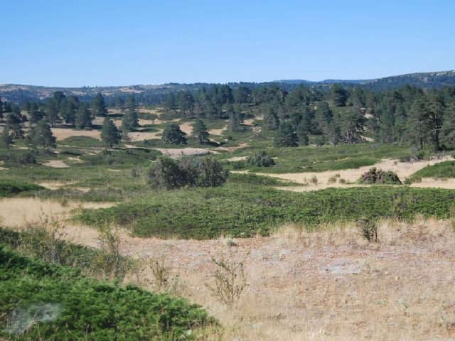
RN 2000 code: ES4240022. Name: Alustante Creeping Sabinares – Tordesilos. Province: Guadalajara. Extension: 7,376 ha. Municipal Terms: Adobes, Alustante, Orea, Tordesilos. Characteristic habitat: creeping juniper forests, oro-Mediterranean heaths and low paramera scrub. Calcareous alpine meadows. Endemic Mediterranean forests of Juniperus sp. Holm oak forests. Oak groves (rebolles and gall oaks). Outstanding values and species…
View more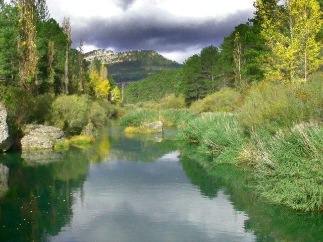
RN 2000 ZEPA code: ES0000092. Extension: 191,204 ha. RN 2000 LIC code: ES4240016. Extension: 140,068 ha. Name: Alto Tajo. Province: Guadalajara (40 municipalities) and Cuenca (6 municipalities). Municipal terms: CUENCA: Beteta, Carrascosa, Cuenca, Cueva del Hierro, Masegosa and Tragacete. GUADALAJARA: Ablanque, Alcoroches, Alustante, Anguita, Arbeteta, Armallones, Baños de Tajo, Cifuentes, Cobeta,…
View more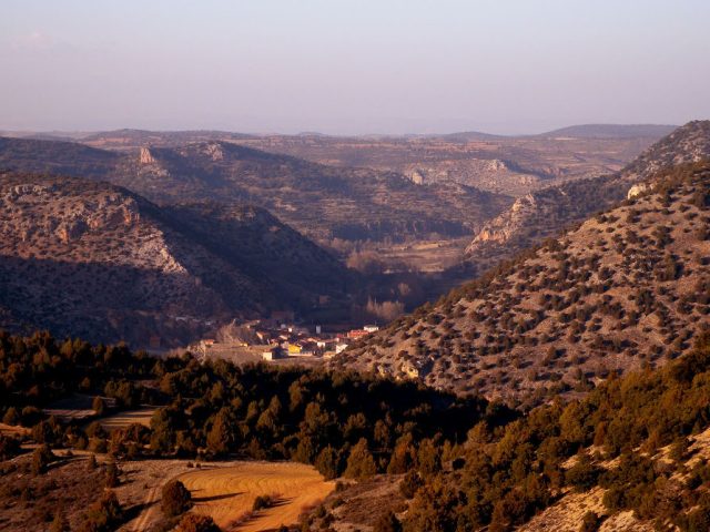
RN 2000 ZEPA code: ES0000094. Extension: 44,471 ha. RN 2000 LIC code: ES4240017. Extension: 49,442 ha. Name: Maranchón, Hoz del Mesa and Aragoncillo Parameras. Province: Guadalajara. Municipal Terms: Algar de Mesa, Anguita, Anquela del Ducado, Ciruelos del Pinar, Corduente, Establés, Luzón, Maranchón, Mazarete, Milmarcos, Mochales, Riba de Saelices, Selas,…
View more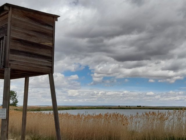
RN 2000 ZEPA and LIC code: ES4240023. Name: Lagoons and Parameras of the Señorío de Molina. Province: Guadalajara. Extension: 6,154 ha. Municipal Terms: Campillo de Dueñas, Embid, Molina de Aragón, Rueda de la Sierra, Tartanedo, Torrubia, Tortuela, La Yunta. Characteristic habitats: flora of temporary ponds, cushioned creeping scrub (cambronal), thymes, meadows...
View more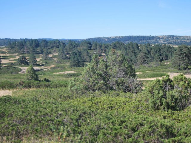
RN 2000 code: ES4240020. Name: Montes de Picaza. Province: Guadalajara. Extension: 15,103 ha. Municipal Terms: Alcoroches, Anquela del Pedregal, Megina, Pinilla de Molina, Piqueras, Prados Redondos, Terzaga, Tierzo, Torrecuadrada de Molina, Torremochuela, Traid. Characteristic habitat: pine forests, juniper forests, oak forests and mixed forests. Formations of creeping juniper forest. Shrub substrate: bushes, gorse, etc. Oromediterranean calcareous meadows. Substeppic areas of…
View more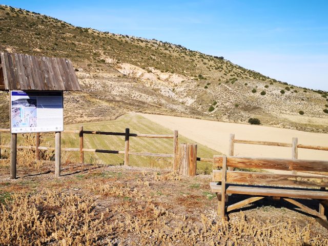
Description: The Fuentelsaz section, located in the NE region of the Señorío de Molina, is considered the most continuous record worldwide of the transit between the Lower and Middle Jurassic, around 175 million years ago. Geologists, to reconstruct the history of the Earth that goes back...
View more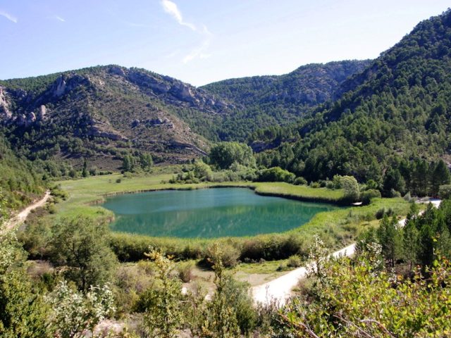
Description: This is a lagoon formed due to the damming of a karst spring due to the growth of a travertine building located halfway between the spring and the mouth of this spring into the Tagus River, a few hundred meters below. The spring is considerably stable…
View more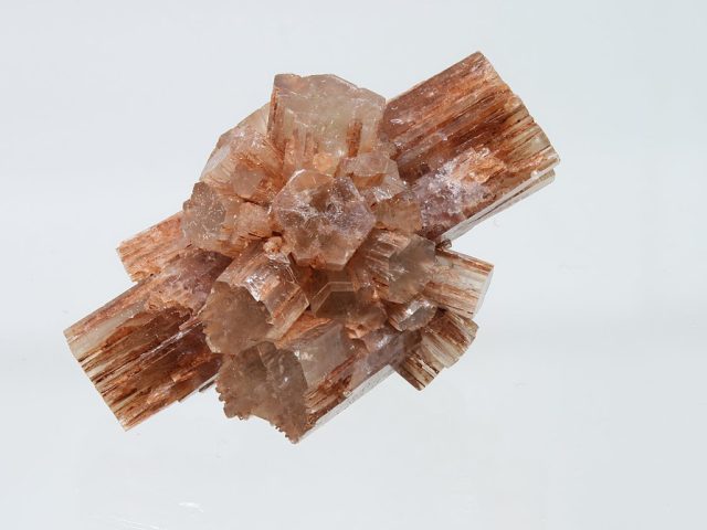
Description: It is a mineral formed by calcium carbonate (Co3Ca) crystallized in the orthorhombic system unlike calcite which, with the same composition, does so in the trigonal system, for this reason it was the first case of mineral polymorphism studied. The name is due to the German mineralogist…
View more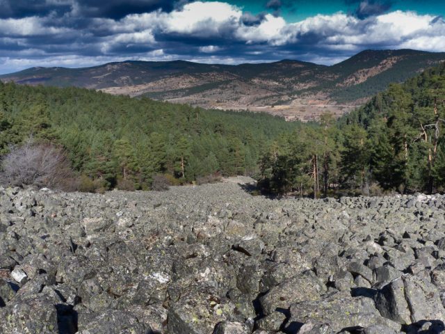
Description: The Orea stone river consists of an accumulation of stone blocks that occurs in some small valleys of the Sierra del Tremedal related to periglacial-type climatic conditions. These are accumulations of quartzite blocks of decimeter size, angular and unworked...
View more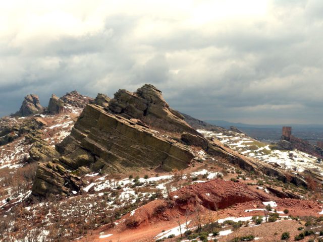
Description: The Sierra de Caldereros is an alignment of rocky ridges in an east-west direction in which the beautiful erosive forms that have developed on the materials of a monoclinal series from the Lower Triassic stand out: Tormos, fairy chimneys, fungiform rocks and caballeras , which together with…
View more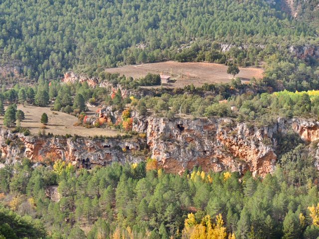
Description: The infiltration of rainwater in the plateau of the paramera generates upwellings on the slope of this area of the Tagus River canyon, at the outlet of which there has been an intense precipitation of carbonates during the last hundreds of thousands of years, the result is…
View more








 English (UK)
  Español