
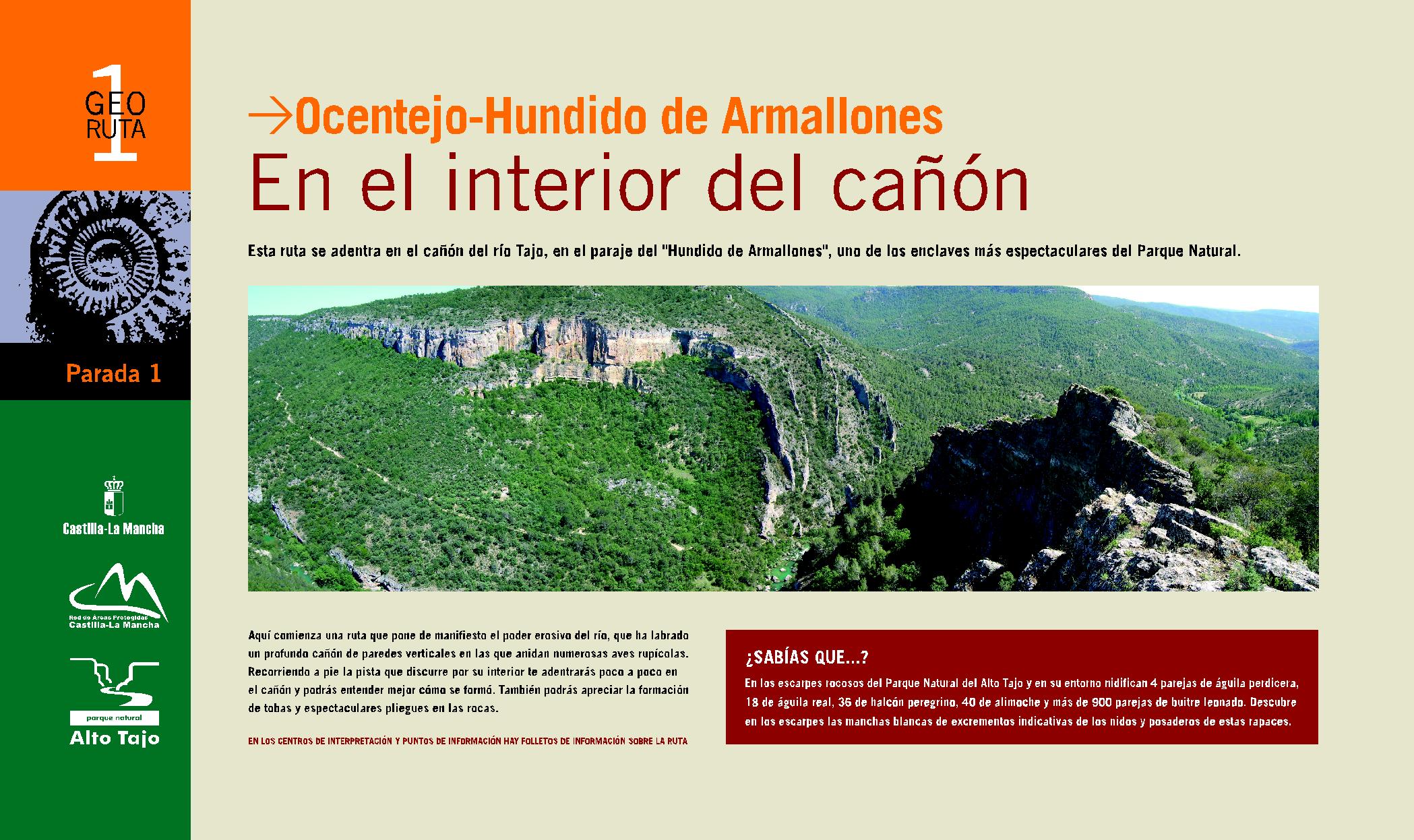
GEORUTE 1: Inside the canyon
Ocentejo – Sunken Armallones
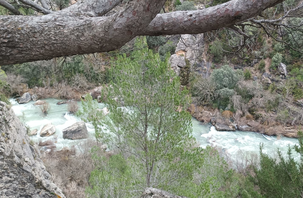
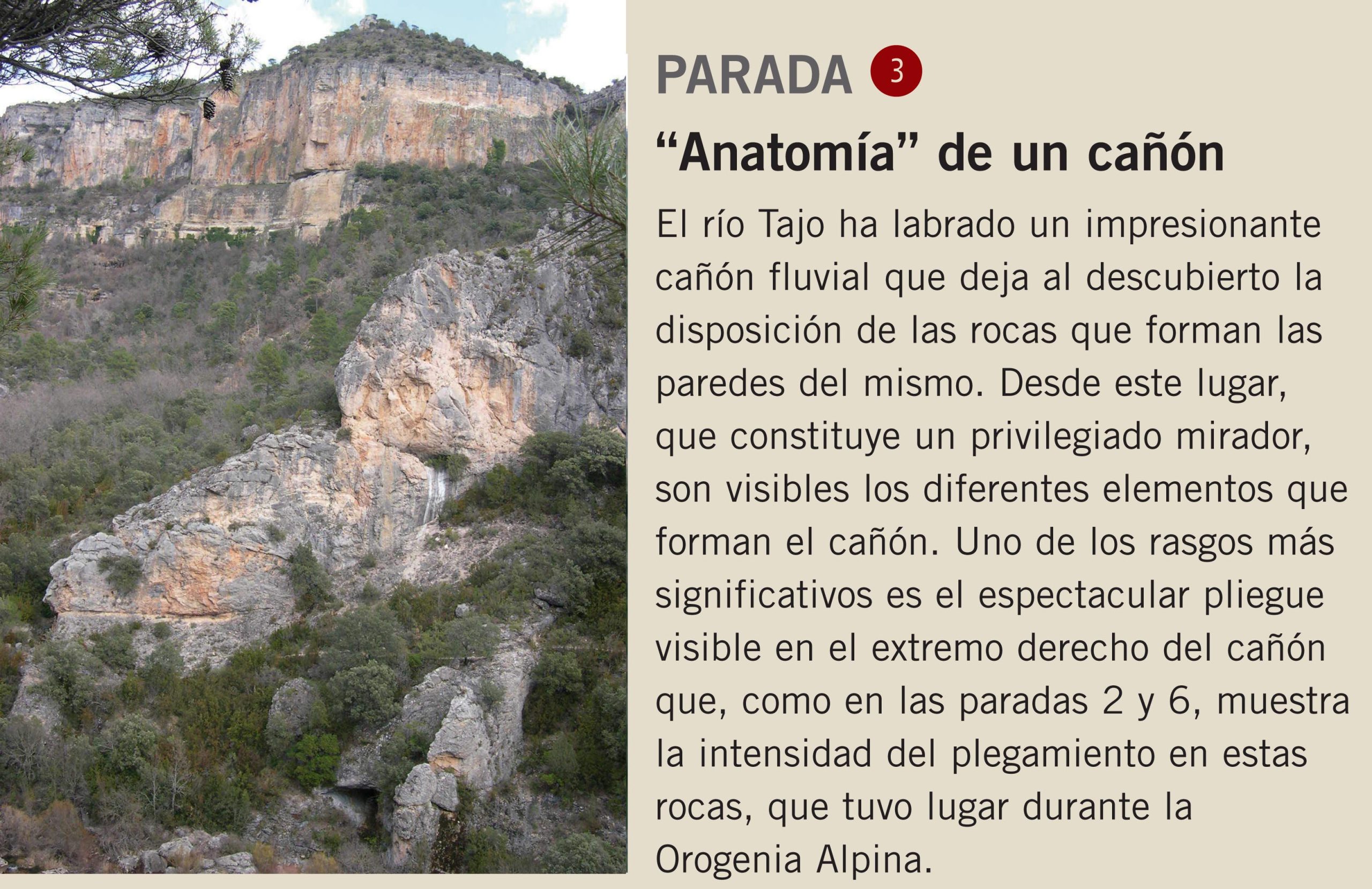
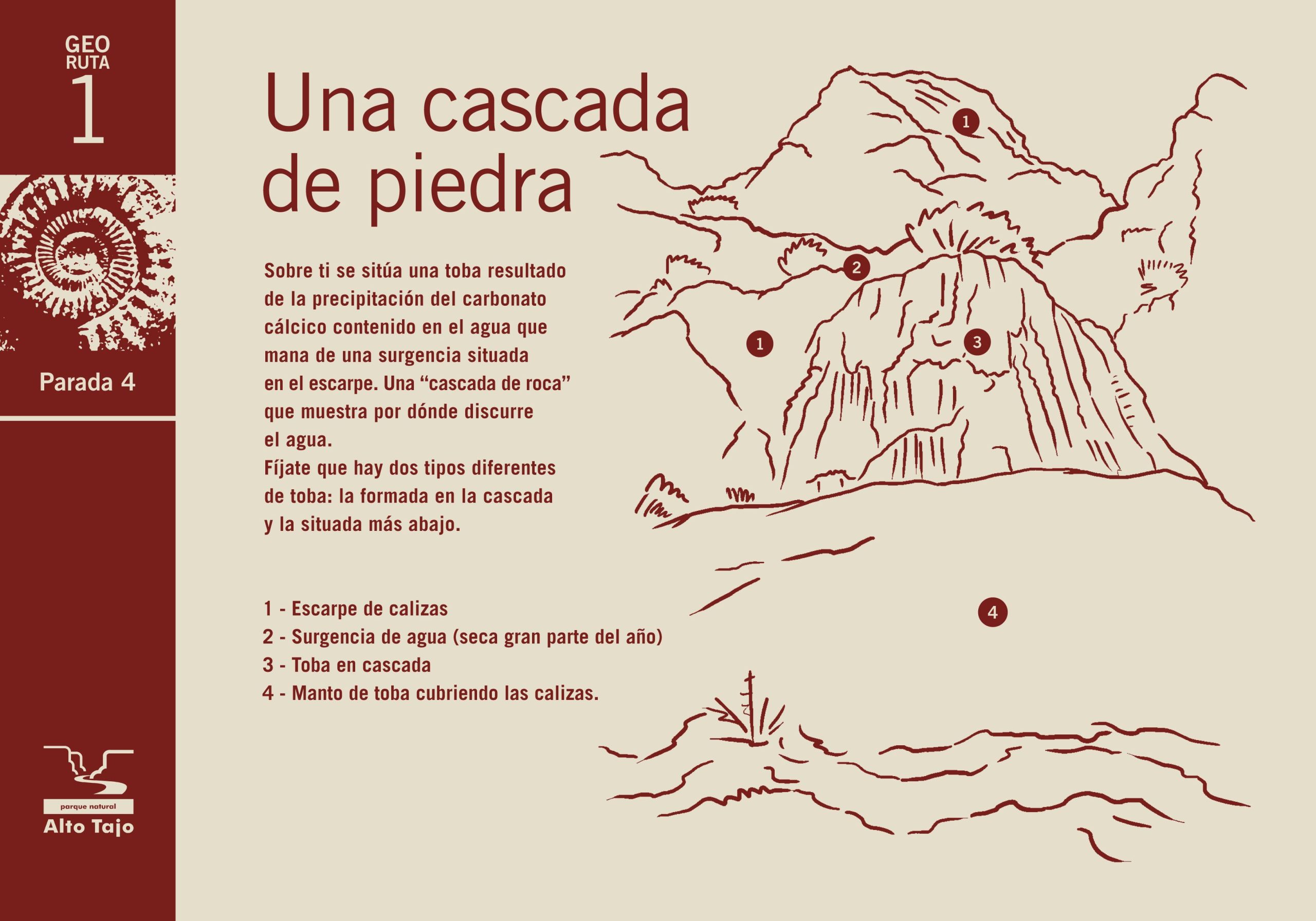
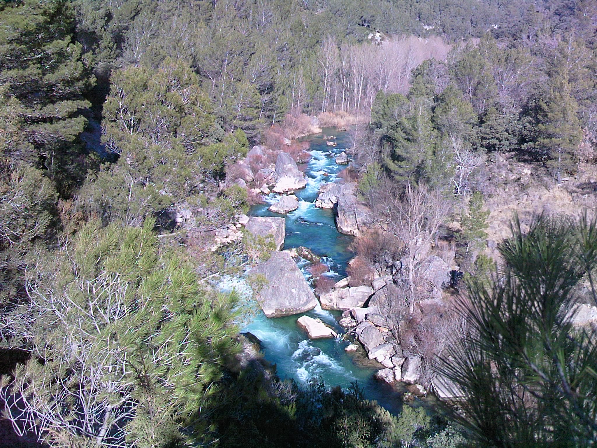
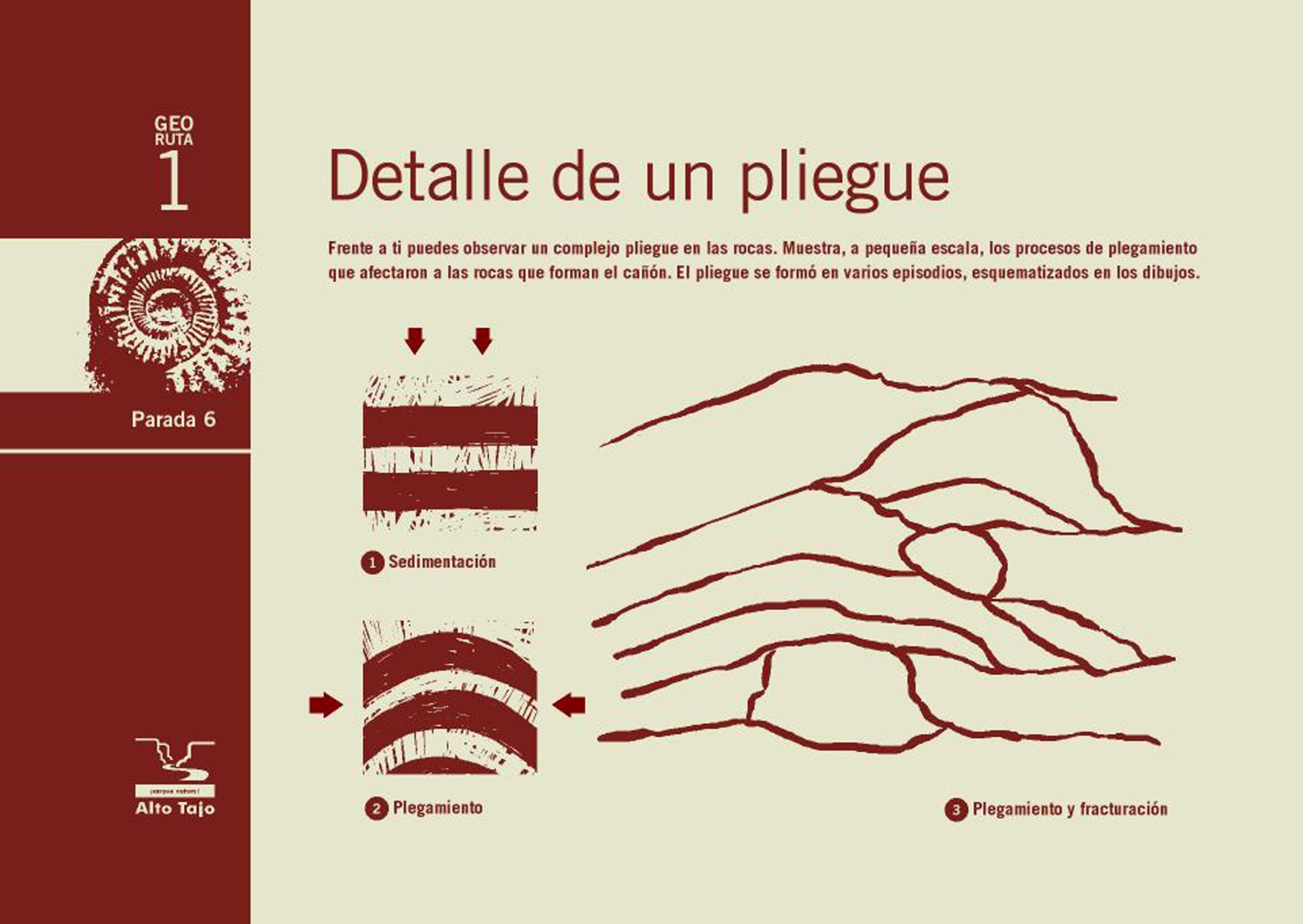
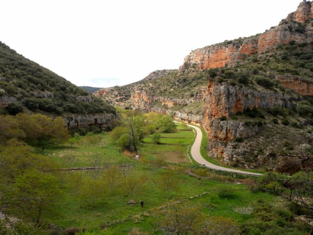
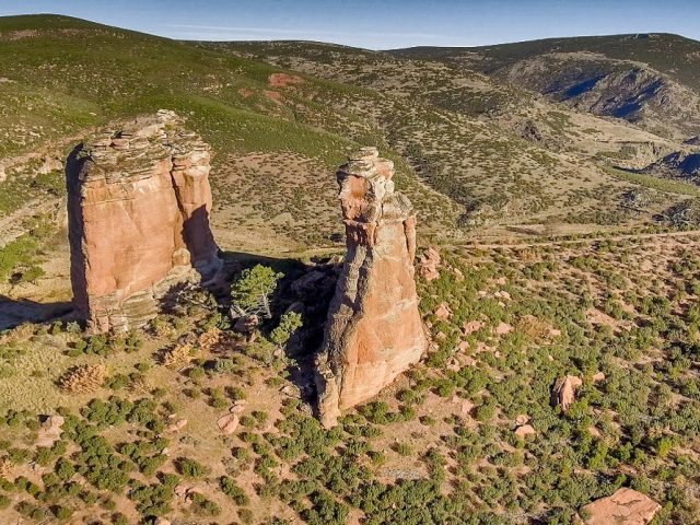
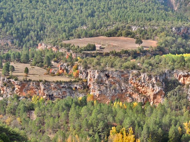
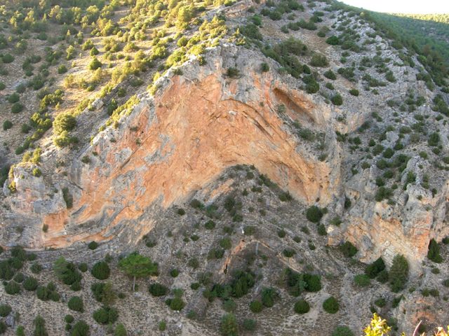
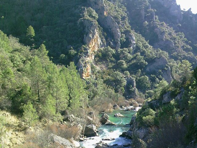
This route enters the canyon of the Tagus River, in the area of “Sunken Armallones”, one of the most spectacular enclaves of the Natural Park. In this place, the erosive power of the river is evident, which has carved a deep canyon with vertical walls in which numerous rock birds nest. Walking along the track that runs through its interior, you will gradually enter the canyon and, following the route panels, you will be able to better understand how it was formed.
CHARACTERISTICS
- LENGTH: 8 KM (ROUND RETURN)
- RECOMMENDATIONS: due to the existence of nests of endangered bird species. During the period between February 1 and June 15, do not continue beyond the end of the route, even if the track extends a few more kilometers.
- Route only suitable for walking or cycling.
- Approximate duration: 2-3 hours (i/v).
Download the interactive brochure and let yourself be carried away



 English (UK)
  Español