CELTIBERIAN FORT EL CEREMEÑO
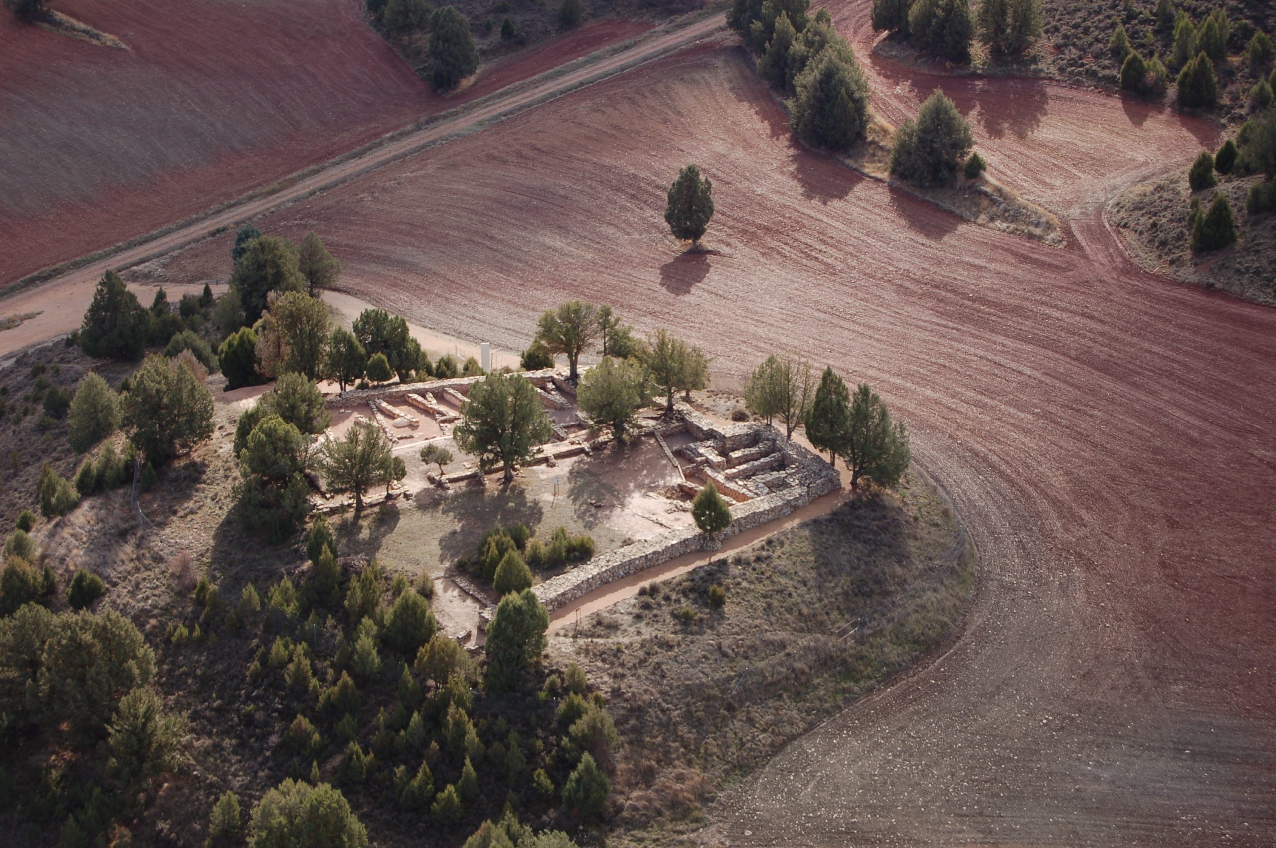
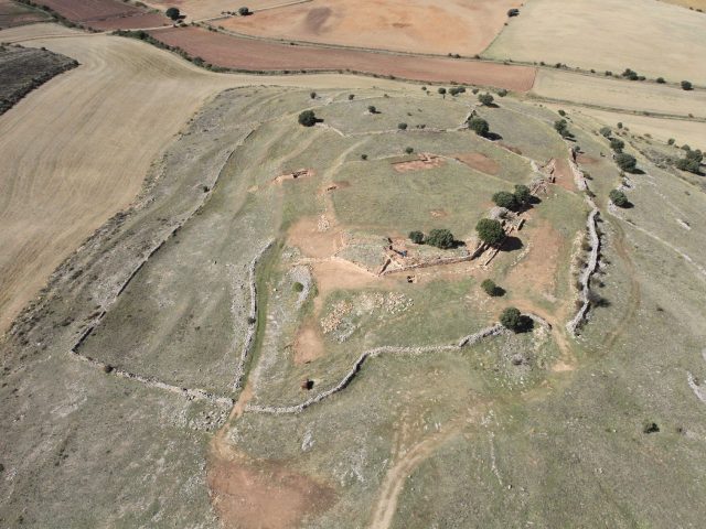
The town of El Ceremeño sits on a hill on the right bank of the Saúco stream.
The Ceremeño
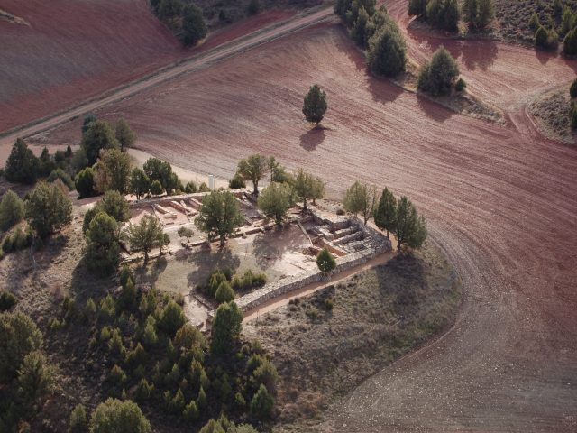
The town of El Ceremeño sits on a hill on the right bank of the Saúco stream, just 500 m from the current municipality.
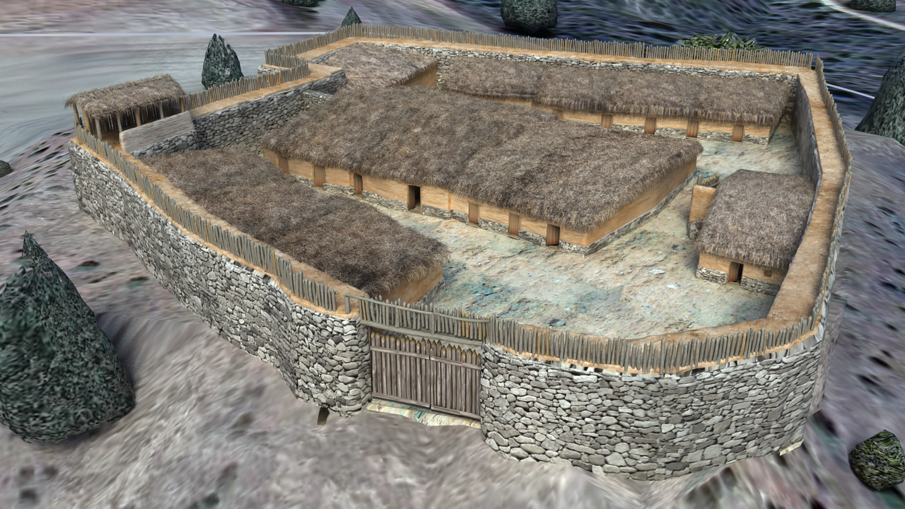
It has an area of 2000 m2, is surrounded by a wall of well-squared dry-locked ashlars and its excavation allowed the identification of two successive occupations: the first between the 7th and 6th centuries BC. C., during the Ancient Celtiberian period and the second developed shortly after, between the 5th-4th centuries BC. C., during the Plenary Celtiberian period.
With some differences between both phases, its urban design is the typical “central street”, with the rectangular-shaped houses, attached to each other, the rear one leaning on the wall and the doors opening to the interior space.
Due to its interest and special characteristics, it was declared BIC with the category of Archaeological Zone in 1990 and in 1999 it became a Visitable Site. Furthermore, the renovated National Archaeological Museum has included El Ceremeño in its rooms, as a representative site of Celtic Hispania.
Herrería Necropolis
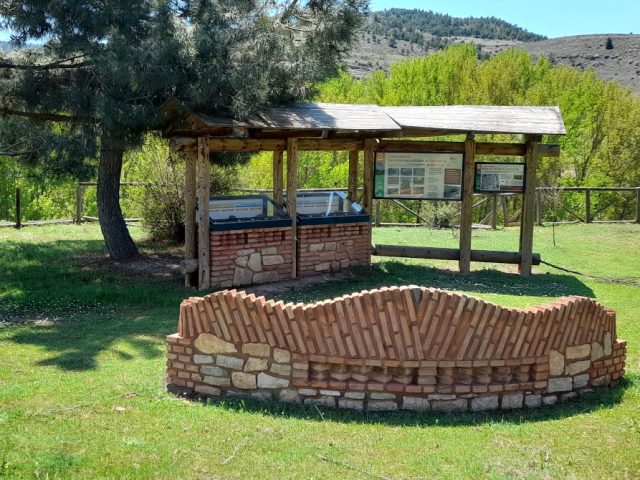
The inhabitants of El Ceremeño buried their dead near the fort, on the land of the river plain, but on its opposite bank, perhaps to symbolize the separation between the world of the living and that of the dead.
The necropolis preserves five overlapping phases of use, the third and fourth being contemporary with the fort, demonstrating the sacred and symbolic character that was given to that location, which remained in use for many generations.
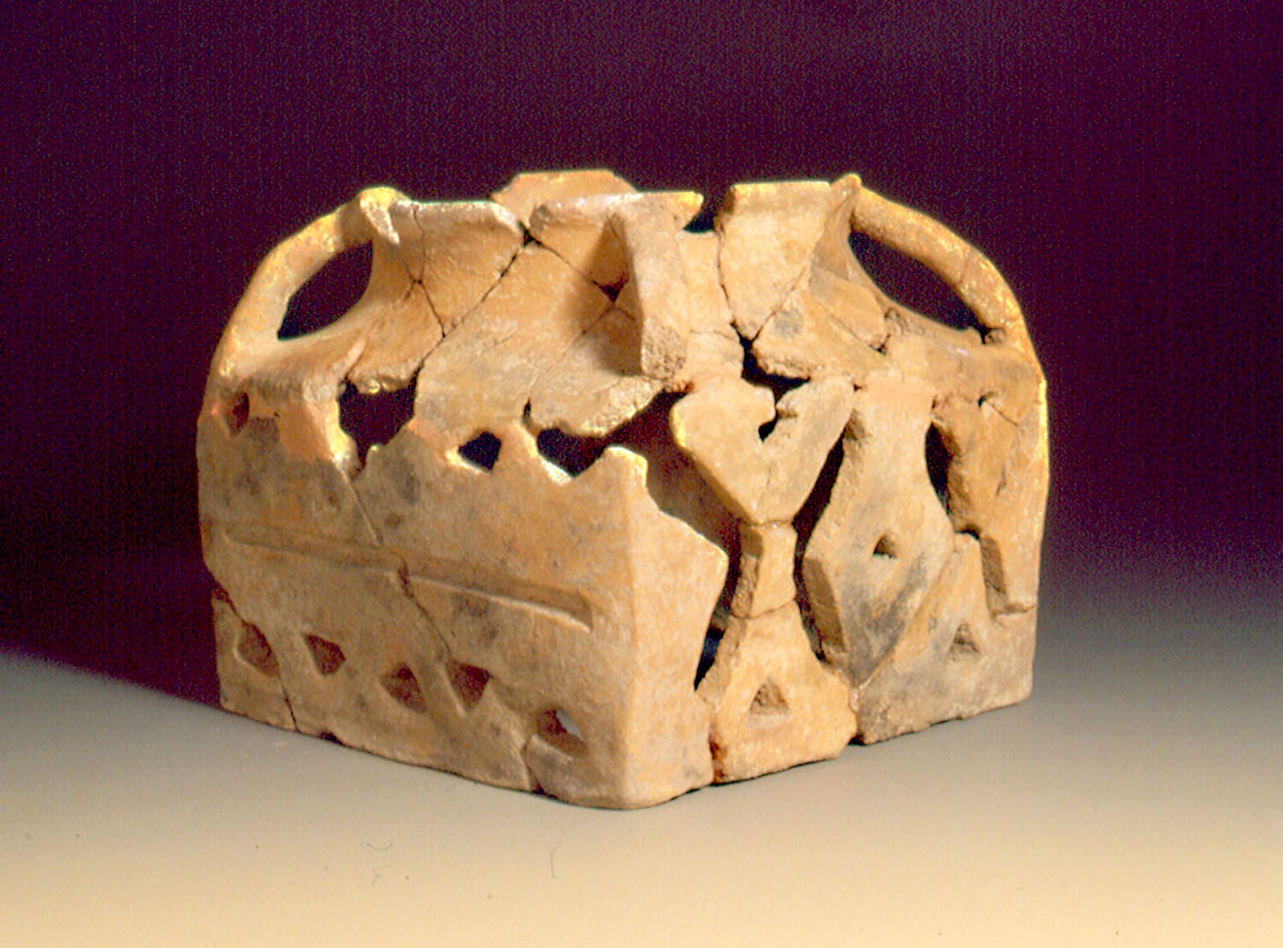
The rite used was cremation, with the subsequent placement of the remains in a grave, accompanied by ceramic and metal grave goods and the marking of the tomb with small stone circles.


 English (UK)
  Español