
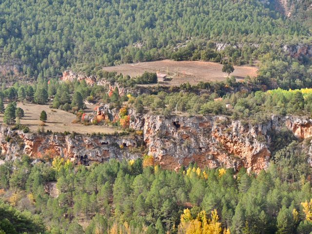
Description: The infiltration of rainwater in the plateau of the paramera generates upwellings on the slope of this area of the Tagus River canyon, at the outlet of which there has been an intense precipitation of carbonates during the last hundreds of thousands of years, the result is…
View more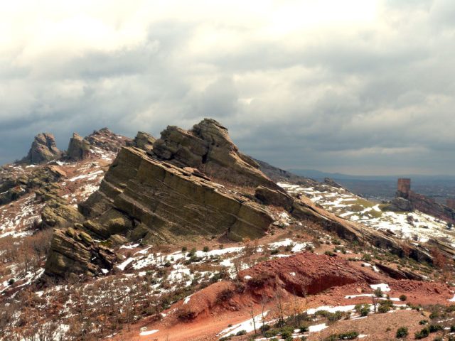
Description: The Sierra de Caldereros is an alignment of rocky ridges in an east-west direction in which the beautiful erosive forms that have developed on the materials of a monoclinal series from the Lower Triassic stand out: Tormos, fairy chimneys, fungiform rocks and caballeras , which together with…
View more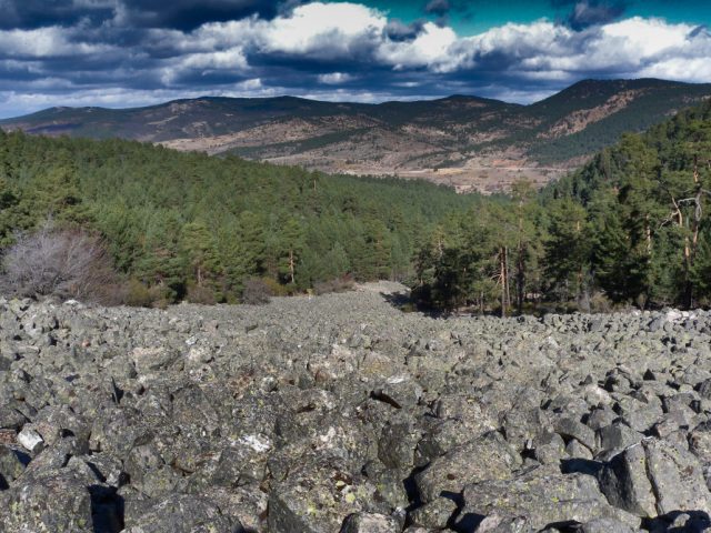
Description: The Orea stone river consists of an accumulation of stone blocks that occurs in some small valleys of the Sierra del Tremedal related to periglacial-type climatic conditions. These are accumulations of quartzite blocks of decimeter size, angular and unworked...
View more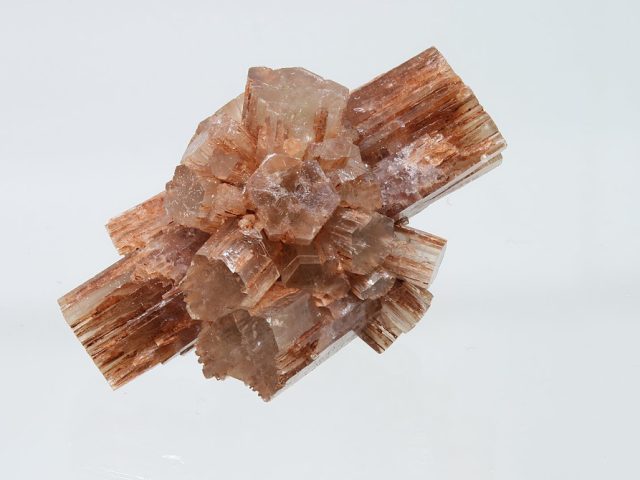
Description: It is a mineral formed by calcium carbonate (Co3Ca) crystallized in the orthorhombic system unlike calcite which, with the same composition, does so in the trigonal system, for this reason it was the first case of mineral polymorphism studied. The name is due to the German mineralogist…
View more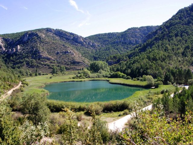
Description: This is a lagoon formed due to the damming of a karst spring due to the growth of a travertine building located halfway between the spring and the mouth of this spring into the Tagus River, a few hundred meters below. The spring is considerably stable…
View more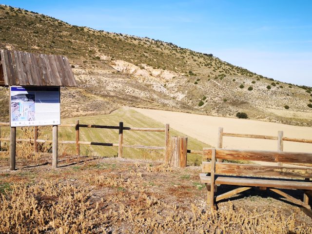
Description: The Fuentelsaz section, located in the NE region of the Señorío de Molina, is considered the most continuous record worldwide of the transit between the Lower and Middle Jurassic, around 175 million years ago. Geologists, to reconstruct the history of the Earth that goes back...
View more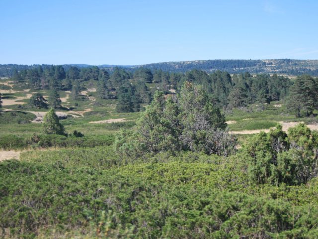
RN 2000 code: ES4240020. Name: Montes de Picaza. Province: Guadalajara. Extension: 15,103 ha. Municipal Terms: Alcoroches, Anquela del Pedregal, Megina, Pinilla de Molina, Piqueras, Prados Redondos, Terzaga, Tierzo, Torrecuadrada de Molina, Torremochuela, Traid. Characteristic habitat: pine forests, juniper forests, oak forests and mixed forests. Formations of creeping juniper forest. Shrub substrate: bushes, gorse, etc. Oromediterranean calcareous meadows. Substeppic areas of…
View more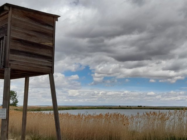
RN 2000 ZEPA and LIC code: ES4240023. Name: Lagoons and Parameras of the Señorío de Molina. Province: Guadalajara. Extension: 6,154 ha. Municipal Terms: Campillo de Dueñas, Embid, Molina de Aragón, Rueda de la Sierra, Tartanedo, Torrubia, Tortuela, La Yunta. Characteristic habitats: flora of temporary ponds, cushioned creeping scrub (cambronal), thymes, meadows...
View more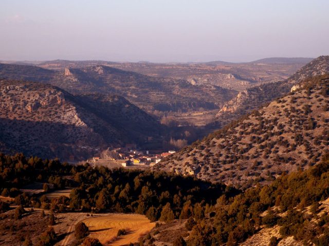
RN 2000 ZEPA code: ES0000094. Extension: 44,471 ha. RN 2000 LIC code: ES4240017. Extension: 49,442 ha. Name: Maranchón, Hoz del Mesa and Aragoncillo Parameras. Province: Guadalajara. Municipal Terms: Algar de Mesa, Anguita, Anquela del Ducado, Ciruelos del Pinar, Corduente, Establés, Luzón, Maranchón, Mazarete, Milmarcos, Mochales, Riba de Saelices, Selas,…
View more English (UK)
  Español